Del Pilar geodata
Del Pilar (Caraga) is a populated place; located in Philippines in Asia/Manila (GMT+8) time zone. With population of 2,511 people, there are 3264 cities with bigger population in this country. Compared to other cities in Philippines, 74.9% of cities are located further ↑North; 94.4% of cities are located further ←West and 64.1% of cities have lower elevation than Del Pilar. Note1
Administrative division(s):
- Level 1: Caraga
- Level 2: Province of Agusan del Norte
- Level 3: City of Cabadbaran


Del Pilar GPS coordinates[2]
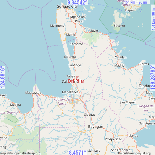
9° 9' 6.984" North, 125° 35' 4.992" East
| Map corner | latitude | longitude |
|---|---|---|
| Upper-left | 9.84542°, | 124.8816° |
| Center: | 9.15194°, | 125.58472° |
| Lower-right: | 8.4571°, | 126.28785° |
| Map W x H: | 154.4×154.4 km | = 95.9×95.9mi |
| max Lat: | 20.78733° ⇑74.9% North |
| Del Pilar: | 9.15194° |
| min Lat: | ⇓25.1% South 4.65442° |
| min Long | Del Pilar | max Long |
| 117.04868° | 125.58472° | 126.58417° |
| W 94.4%⇐ | ⇒5.6% E |
Elevation
Elevation of Del Pilar is 40 m = 131 ft, and this is 47.9 m = 157 ft below average elevation for this country.
| Max E: |
2262 m = 7421 ft | 35.9% |
| Avg. | 87.9 m = 288 ft | |
| Del Pilar | 40 m = 131 ft | |
Min E: |
-2 m = -7 ft | 64.1% |
See also: Philippines elevation on elevation.city.
Geographical zone
Del Pilar is located in North Torrid zone (between Equator and Tropic of Cancer). Distance of Equator is 1017.6 km =632.3 mi to South.| Distance of | km | miles | from Del Pilar |
|---|---|---|---|
| North Pole | 8989.5 | 5585.8 | to North |
| Arctic Circle | 6383.6 | 3966.6 | to North |
| Tropic Cancer | 1588.3 | 986.9 | to North |
| Equator | 1017.6 | 632.3 | to South |


Nearby cities:
15 places around Del Pilar: (largest is in red/bold)
• Agay
10.9 km =6.8 mi,  178°
178°
• Anticala
17.7 km =11 mi,  157°
157°
• Balangbalang
11.4 km =7.1 mi, 158°
• Cabadbaran
6.3 km =3.9 mi,  238°
238°
• Calamba
5.5 km =3.4 mi,  169°
169°
• Caloc-an
13.1 km =8.1 mi,  206°
206°
• Comagascas
3.1 km =1.9 mi, 243°
• Jagupit
10.5 km =6.5 mi,  343°
343°
• La Union
9.1 km =5.7 mi,  216°
216°
• Lombocan
18.2 km =11.3 mi, 208°
• Los Angeles
15.7 km =9.8 mi, 170°
• Magallanes
16.4 km =10.2 mi, 206°
• Sanghan
7.5 km =4.7 mi,  190°
190°
• Santa Ana
5.1 km =3.2 mi,  333°
333°
• Tubay
6.9 km =4.3 mi,  284°
284°
Sources, notices
• [Note1] Compared only with cities in Philippines existing in our database
• [Src1] Map data: © OpenStreetMap contributors (CC-BY-SA)
• [Src2] Other city data from geonames.org with taken over terms of usage.
• [Src3] Geographical zone / Annual Mean Temperature by Robert A. Rohde @ Wikipedia
