Candating geodata
Candating (Central Luzon) is a populated place; located in Philippines in Asia/Manila (GMT+8) time zone. With population of 4,307 people, there are 1578 cities with bigger population in this country. Compared to other cities in Philippines, 78.9% of cities are located further ↓South; 81.8% of cities are located further →East and 67.4% of cities have higher elevation than Candating. Note1


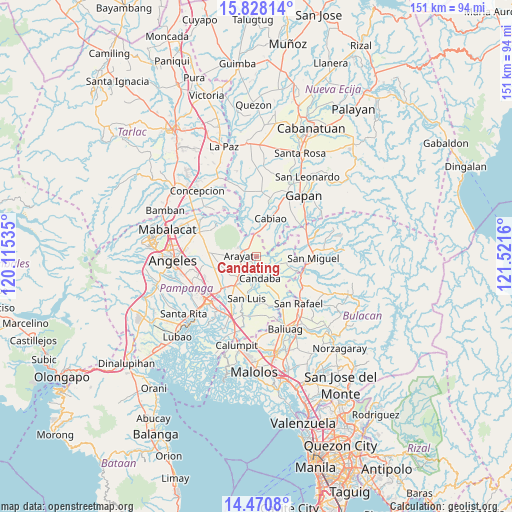
Candating GPS coordinates[2]
15° 9' 2.016" North, 120° 49' 6.492" East
| Map corner | latitude | longitude |
|---|---|---|
| Upper-left | 15.82814°, | 120.11535° |
| Center: | 15.15056°, | 120.81847° |
| Lower-right: | 14.4708°, | 121.5216° |
| Map W x H: | 150.9×150.9 km | = 93.8×93.8mi |
| max Lat: | 20.78733° ⇑21.1% North |
| Candating: | 15.15056° |
| min Lat: | ⇓78.9% South 4.65442° |
| min Long | Candating | max Long |
| 117.04868° | 120.81847° | 126.58417° |
| W 18.2%⇐ | ⇒81.8% E |
Elevation
Elevation of Candating is 13 m = 43 ft, and this is 74.9 m = 246 ft below average elevation for this country.
| Max E: |
2262 m = 7421 ft | 67.4% |
| Avg. | 87.9 m = 288 ft | |
| Candating | 13 m = 43 ft | |
Min E: |
-2 m = -7 ft | 32.6% |
See also: Philippines elevation on elevation.city.
Geographical zone
Candating is located in North Torrid zone (between Equator and Tropic of Cancer). Distance of this Northern Tropic circle is 921.3 km =572.5 mi to North.| Distance of | km | miles | from Candating |
|---|---|---|---|
| North Pole | 8322.5 | 5171.4 | to North |
| Arctic Circle | 5716.6 | 3552.1 | to North |
| Tropic Cancer | 921.3 | 572.5 | to North |
| Equator | 1684.6 | 1046.8 | to South |


Nearby cities:
15 places around Candating: (largest is in red/bold)
• Arayat
5.2 km =3.2 mi,  269°
269°
• Cabiao
11.6 km =7.2 mi,  19°
19°
• Candaba
6.2 km =3.9 mi,  171°
171°
• Concepcion
7.9 km =4.9 mi,  9°
9°
• Mandili
7.1 km =4.4 mi,  63°
63°
• Mapaniqui
12.2 km =7.6 mi,  113°
113°
• Salapungan
11.9 km =7.4 mi,  98°
98°
• San Luis
12.7 km =7.9 mi,  194°
194°
• San Mateo
6.1 km =3.8 mi,  335°
335°
• San Nicolas
12.4 km =7.7 mi, 192°
• San Patricio
11.3 km =7 mi,  238°
238°
• San Vicente
7 km =4.3 mi,  0°
0°
• Santa Ana
8.2 km =5.1 mi,  222°
222°
• Santa Maria
8.8 km =5.5 mi, 216°
• Santo Domingo
10.9 km =6.8 mi, 217°
Sources, notices
• [Note1] Compared only with cities in Philippines existing in our database
• [Src1] Map data: © OpenStreetMap contributors (CC-BY-SA)
• [Src2] Other city data from geonames.org with taken over terms of usage.
• [Src3] Geographical zone / Annual Mean Temperature by Robert A. Rohde @ Wikipedia
