Arayat geodata
Arayat (Central Luzon) is a seat of a third-order administrative division; located in Philippines in Asia/Manila (GMT+8) time zone. With population of 87,987 people, there are 102 cities with bigger population in this country. Compared to other cities in Philippines, 78.8% of cities are located further ↓South; 83.1% of cities are located further →East and 65.1% of cities have higher elevation than Arayat. Note1


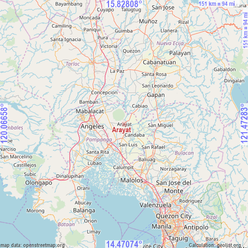
Arayat GPS coordinates[2]
15° 9' 1.8" North, 120° 46' 10.92" East
| Map corner | latitude | longitude |
|---|---|---|
| Upper-left | 15.82808°, | 120.06658° |
| Center: | 15.1505°, | 120.7697° |
| Lower-right: | 14.47074°, | 121.47283° |
| Map W x H: | 150.9×150.9 km | = 93.8×93.8mi |
| max Lat: | 20.78733° ⇑21.2% North |
| Arayat: | 15.1505° |
| min Lat: | ⇓78.8% South 4.65442° |
| min Long | Arayat | max Long |
| 117.04868° | 120.7697° | 126.58417° |
| W 16.9%⇐ | ⇒83.1% E |
Elevation
Elevation of Arayat is 14 m = 46 ft, and this is 73.9 m = 242 ft below average elevation for this country.
| Max E: |
2262 m = 7421 ft | 65.1% |
| Avg. | 87.9 m = 288 ft | |
| Arayat | 14 m = 46 ft | |
Min E: |
-2 m = -7 ft | 34.9% |
See also: Arayat elevation on elevation.city.
Geographical zone
Arayat is located in North Torrid zone (between Equator and Tropic of Cancer). Distance of this Northern Tropic circle is 921.3 km =572.5 mi to North.| Distance of | km | miles | from Arayat |
|---|---|---|---|
| North Pole | 8322.5 | 5171.4 | to North |
| Arctic Circle | 5716.6 | 3552.1 | to North |
| Tropic Cancer | 921.3 | 572.5 | to North |
| Equator | 1684.6 | 1046.8 | to South |


Nearby cities:
15 places around Arayat: (largest is in red/bold)
• Anao
8.5 km =5.3 mi,  263°
263°
• Arenas
9.3 km =5.8 mi,  283°
283°
• Candaba
8.6 km =5.3 mi,  134°
134°
• Candating
5.2 km =3.2 mi,  89°
89°
• Cauayan
10.5 km =6.5 mi,  270°
270°
• Concepcion
10.2 km =6.3 mi,  40°
40°
• Malino
10.6 km =6.6 mi, 255°
• Panlinlang
8.3 km =5.2 mi,  296°
296°
• San Antonio
8.8 km =5.5 mi, 271°
• San Mateo
6.1 km =3.8 mi,  25°
25°
• San Patricio
7.3 km =4.5 mi,  216°
216°
• San Vicente
8.8 km =5.5 mi, 37°
• Santa Ana
6.1 km =3.8 mi,  182°
182°
• Santa Maria
7.1 km =4.4 mi, 179°
• Santo Domingo
8.7 km =5.4 mi,  188°
188°
Sources, notices
• [Note1] Compared only with cities in Philippines existing in our database
• [Src1] Map data: © OpenStreetMap contributors (CC-BY-SA)
• [Src2] Other city data from geonames.org with taken over terms of usage.
• [Src3] Geographical zone / Annual Mean Temperature by Robert A. Rohde @ Wikipedia
