Binmaley geodata
Binmaley (Ilocos) is a populated place; located in Philippines in Asia/Manila (GMT+8) time zone. With population of 44,026 people, there are 195 cities with bigger population in this country. Compared to other cities in Philippines, 88.1% of cities are located further ↓South; 95.6% of cities are located further →East and 95.5% of cities have higher elevation than Binmaley. Note1


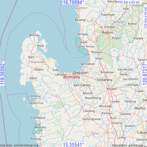
Binmaley GPS coordinates[2]
16° 1' 56.352" North, 120° 16' 8.544" East
| Map corner | latitude | longitude |
|---|---|---|
| Upper-left | 16.70694°, | 119.56592° |
| Center: | 16.03232°, | 120.26904° |
| Lower-right: | 15.35541°, | 120.97217° |
| Map W x H: | 150.3×150.3 km | = 93.4×93.4mi |
| max Lat: | 20.78733° ⇑11.9% North |
| Binmaley: | 16.03232° |
| min Lat: | ⇓88.1% South 4.65442° |
| min Long | Binmaley | max Long |
| 117.04868° | 120.26904° | 126.58417° |
| W 4.4%⇐ | ⇒95.6% E |
Elevation
Elevation of Binmaley is 5 m = 16 ft, and this is 82.9 m = 272 ft below average elevation for this country.
| Max E: |
2262 m = 7421 ft | 95.5% |
| Avg. | 87.9 m = 288 ft | |
| Binmaley | 5 m = 16 ft | |
Min E: |
-2 m = -7 ft | 4.5% |
See also: Binmaley elevation on elevation.city.
Geographical zone
Binmaley is located in North Torrid zone (between Equator and Tropic of Cancer). Distance of this Northern Tropic circle is 823.3 km =511.6 mi to North.| Distance of | km | miles | from Binmaley |
|---|---|---|---|
| North Pole | 8224.4 | 5110.4 | to North |
| Arctic Circle | 5618.5 | 3491.2 | to North |
| Tropic Cancer | 823.3 | 511.6 | to North |
| Equator | 1782.6 | 1107.7 | to South |


Nearby cities:
15 places around Binmaley: (largest is in red/bold)
• Balogo
4.9 km =3 mi,  162°
162°
• Basing
5.3 km =3.3 mi,  180°
180°
• Calasiao
10 km =6.2 mi,  103°
103°
• Camaley
5.2 km =3.2 mi,  138°
138°
• Canaoalan
2.9 km =1.8 mi, 97°
• Dagupan
7 km =4.3 mi,  80°
80°
• Domalanoan
7 km =4.3 mi,  241°
241°
• Gayaman
4.6 km =2.9 mi,  116°
116°
• Lingayen
4.1 km =2.5 mi,  253°
253°
• Malawa
8.3 km =5.2 mi,  173°
173°
• Nagsaing
9.3 km =5.8 mi,  127°
127°
• Naguelguel
3 km =1.9 mi,  191°
191°
• Naguilayan
4 km =2.5 mi, 144°
• Polong
9.5 km =5.9 mi,  229°
229°
• Quintong
10.2 km =6.3 mi,  146°
146°
Sources, notices
• [Note1] Compared only with cities in Philippines existing in our database
• [Src1] Map data: © OpenStreetMap contributors (CC-BY-SA)
• [Src2] Other city data from geonames.org with taken over terms of usage.
• [Src3] Geographical zone / Annual Mean Temperature by Robert A. Rohde @ Wikipedia
