Bilog-Bilog geodata
Bilog-Bilog (Calabarzon) is a populated place; located in Philippines in Asia/Manila (GMT+8) time zone. With population of 11,342 people, there are 543 cities with bigger population in this country. Compared to other cities in Philippines, 70.6% of cities are located further ↓South; 74.2% of cities are located further →East and 86.4% of cities have lower elevation than Bilog-Bilog. Note1
Administrative division(s):
- Level 1: Calabarzon
- Level 2: Province of Batangas
- Level 3: City of Tanauan


Bilog-Bilog GPS coordinates[2]
14° 6' 48.996" North, 121° 5' 18.996" East
| Map corner | latitude | longitude |
|---|---|---|
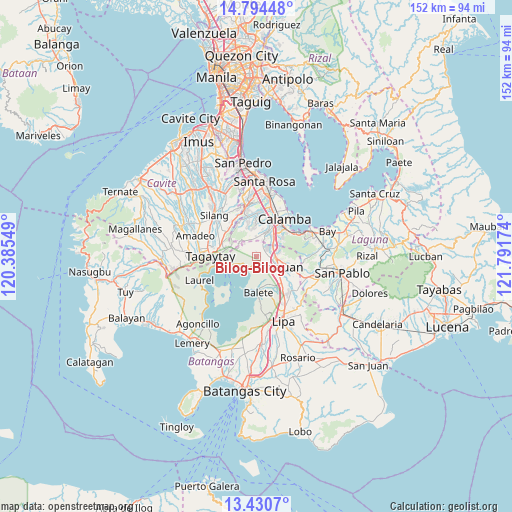
| Upper-left | 14.79448°, | 120.38549° |
| Center: | 14.11361°, | 121.08861° |
| Lower-right: | 13.4307°, | 121.79174° |
| Map W x H: | 151.6×151.6 km | = 94.2×94.2mi |
| max Lat: | 20.78733° ⇑29.4% North |
| Bilog-Bilog: | 14.11361° |
| min Lat: | ⇓70.6% South 4.65442° |
| min Long | Bilog-Bilog | max Long |
| 117.04868° | 121.08861° | 126.58417° |
| W 25.8%⇐ | ⇒74.2% E |
Elevation
Elevation of Bilog-Bilog is 157 m = 515 ft, and this is 69.1 m = 227 ft above average elevation for this country.
| Max E: |
2262 m = 7421 ft | 13.6% |
| Bilog-Bilog | 157 m 515 ft | |
| Avg. | 87.9 m = 288 ft | |
Min E: |
-2 m = -7 ft | 86.4% |
See also: Philippines elevation on elevation.city.
Geographical zone
Bilog-Bilog is located in North Torrid zone (between Equator and Tropic of Cancer). Distance of this Northern Tropic circle is 1036.6 km =644.1 mi to North.| Distance of | km | miles | from Bilog-Bilog |
|---|---|---|---|
| North Pole | 8437.8 | 5243 | to North |
| Arctic Circle | 5831.9 | 3623.8 | to North |
| Tropic Cancer | 1036.6 | 644.1 | to North |
| Equator | 1569.3 | 975.1 | to South |


Nearby cities:
15 places around Bilog-Bilog: (largest is in red/bold)
• Ambulong
4.1 km =2.5 mi,  226°
226°
• Balele
5.4 km =3.4 mi,  174°
174°
• Balete
10.5 km =6.5 mi,  176°
176°
• Boot
7.7 km =4.8 mi,  189°
189°
• Janopol
3.2 km =2 mi, 167°
• Malvar
10.8 km =6.7 mi,  135°
135°
• Pantay Na Matanda
3.5 km =2.2 mi,  82°
82°
• Prinza
10.5 km =6.5 mi,  29°
29°
• San Isidro
9.2 km =5.7 mi, 165°
• San Pedro One
9.1 km =5.7 mi, 137°
• Santo Tomas
5.7 km =3.5 mi,  96°
96°
• Santor
3 km =1.9 mi,  132°
132°
• Talisay
7.6 km =4.7 mi,  251°
251°
• Tanauan
7.3 km =4.5 mi,  114°
114°
• Tranca
3.4 km =2.1 mi,  278°
278°
Sources, notices
• [Note1] Compared only with cities in Philippines existing in our database
• [Src1] Map data: © OpenStreetMap contributors (CC-BY-SA)
• [Src2] Other city data from geonames.org with taken over terms of usage.
• [Src3] Geographical zone / Annual Mean Temperature by Robert A. Rohde @ Wikipedia
