Bantayan geodata
Bantayan (Eastern Visayas) is a populated place; located in Philippines in Asia/Manila (GMT+8) time zone. With population of 3,976 people, there are 1743 cities with bigger population in this country. Compared to other cities in Philippines, 55% of cities are located further ↓South; 85% of cities are located further ←West and 89.7% of cities have higher elevation than Bantayan. Note1
Administrative division(s):
- Level 1: Eastern Visayas
- Level 2: Province of Northern Samar
- Level 3: San Roque


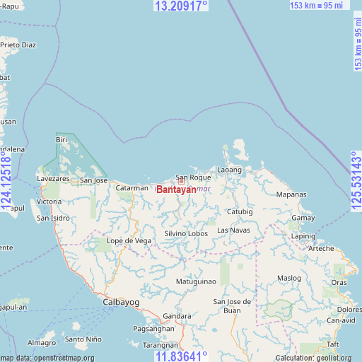
Bantayan GPS coordinates[2]
12° 31' 25.32" North, 124° 49' 41.88" East
| Map corner | latitude | longitude |
|---|---|---|
| Upper-left | 13.20917°, | 124.12518° |
| Center: | 12.5237°, | 124.8283° |
| Lower-right: | 11.83641°, | 125.53143° |
| Map W x H: | 152.6×152.6 km | = 94.8×94.8mi |
| max Lat: | 20.78733° ⇑45% North |
| Bantayan: | 12.5237° |
| min Lat: | ⇓55% South 4.65442° |
| min Long | Bantayan | max Long |
| 117.04868° | 124.8283° | 126.58417° |
| W 85%⇐ | ⇒15% E |
Elevation
Elevation of Bantayan is 7 m = 23 ft, and this is 80.9 m = 265 ft below average elevation for this country.
| Max E: |
2262 m = 7421 ft | 89.7% |
| Avg. | 87.9 m = 288 ft | |
| Bantayan | 7 m = 23 ft | |
Min E: |
-2 m = -7 ft | 10.3% |
See also: Philippines elevation on elevation.city.
Geographical zone
Bantayan is located in North Torrid zone (between Equator and Tropic of Cancer). Distance of this Northern Tropic circle is 1213.4 km =754 mi to North.| Distance of | km | miles | from Bantayan |
|---|---|---|---|
| North Pole | 8614.6 | 5352.9 | to North |
| Arctic Circle | 6008.7 | 3733.6 | to North |
| Tropic Cancer | 1213.4 | 754 | to North |
| Equator | 1392.5 | 865.3 | to South |


Nearby cities:
15 places around Bantayan: (largest is in red/bold)
• Bugko
4.1 km =2.5 mi,  288°
288°
• Catarman
20.9 km =13 mi,  262°
262°
• Catubig
27.7 km =17.2 mi,  117°
117°
• Cervantes
25.1 km =15.6 mi,  226°
226°
• Laoang
20.8 km =12.9 mi,  75°
75°
• Makiwalo
13.4 km =8.3 mi, 263°
• Mondragon
8.3 km =5.2 mi, 263°
• Nenita
4.4 km =2.7 mi,  216°
216°
• Pambujan
11.7 km =7.3 mi,  67°
67°
• Pangpang
27.1 km =16.8 mi, 79°
• Polañge
25.6 km =15.9 mi,  236°
236°
• Salvacion
25 km =15.5 mi, 66°
• San Roque
4.3 km =2.7 mi, 75°
• Silvino Lobos
24.9 km =15.5 mi,  178°
178°
• Viga
24.4 km =15.2 mi,  91°
91°
Sources, notices
• [Note1] Compared only with cities in Philippines existing in our database
• [Src1] Map data: © OpenStreetMap contributors (CC-BY-SA)
• [Src2] Other city data from geonames.org with taken over terms of usage.
• [Src3] Geographical zone / Annual Mean Temperature by Robert A. Rohde @ Wikipedia
