Balocawehay geodata
Balocawehay (Eastern Visayas) is a populated place; located in Philippines in Asia/Manila (GMT+8) time zone. With population of 3,528 people, there are 2037 cities with bigger population in this country. Compared to other cities in Philippines, 60.5% of cities are located further ↑North; 87.1% of cities are located further ←West and 92.7% of cities have higher elevation than Balocawehay. Note1


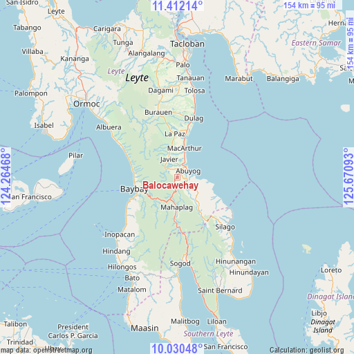
Balocawehay GPS coordinates[2]
10° 43' 19.56" North, 124° 58' 4.08" East
| Map corner | latitude | longitude |
|---|---|---|
| Upper-left | 11.41214°, | 124.26468° |
| Center: | 10.7221°, | 124.9678° |
| Lower-right: | 10.03048°, | 125.67093° |
| Map W x H: | 153.6×153.6 km | = 95.4×95.4mi |
| max Lat: | 20.78733° ⇑60.5% North |
| Balocawehay: | 10.7221° |
| min Lat: | ⇓39.5% South 4.65442° |
| min Long | Balocawehay | max Long |
| 117.04868° | 124.9678° | 126.58417° |
| W 87.1%⇐ | ⇒12.9% E |
Elevation
Elevation of Balocawehay is 6 m = 20 ft, and this is 81.9 m = 269 ft below average elevation for this country.
| Max E: |
2262 m = 7421 ft | 92.7% |
| Avg. | 87.9 m = 288 ft | |
| Balocawehay | 6 m = 20 ft | |
Min E: |
-2 m = -7 ft | 7.3% |
See also: Philippines elevation on elevation.city.
Geographical zone
Balocawehay is located in North Torrid zone (between Equator and Tropic of Cancer). Distance of Equator is 1192.2 km =740.8 mi to South.| Distance of | km | miles | from Balocawehay |
|---|---|---|---|
| North Pole | 8814.9 | 5477.3 | to North |
| Arctic Circle | 6209 | 3858.1 | to North |
| Tropic Cancer | 1413.7 | 878.4 | to North |
| Equator | 1192.2 | 740.8 | to South |


Nearby cities:
15 places around Balocawehay: (largest is in red/bold)
• Abuyog
5.4 km =3.4 mi,  59°
59°
• Balinsacayao
4.7 km =2.9 mi,  191°
191°
• Baybay
18.9 km =11.7 mi,  255°
255°
• Bugho
8.5 km =5.3 mi,  336°
336°
• Bunga
20.8 km =12.9 mi,  285°
285°
• Gabas
18.8 km =11.7 mi,  272°
272°
• Hipasngo
18.6 km =11.6 mi,  249°
249°
• Kilim
18.7 km =11.6 mi, 266°
• La Paz
19 km =11.8 mi,  356°
356°
• Liberty
17.3 km =10.7 mi,  12°
12°
• MacArthur
12.9 km =8 mi, 13°
• Mahaplag
13.1 km =8.1 mi,  181°
181°
• Mayorga
20.1 km =12.5 mi, 10°
• Palhi
19.4 km =12.1 mi, 245°
• Polahongon
21.5 km =13.4 mi, 179°
Sources, notices
• [Note1] Compared only with cities in Philippines existing in our database
• [Src1] Map data: © OpenStreetMap contributors (CC-BY-SA)
• [Src2] Other city data from geonames.org with taken over terms of usage.
• [Src3] Geographical zone / Annual Mean Temperature by Robert A. Rohde @ Wikipedia
