Abuyog geodata
Abuyog (Eastern Visayas) is a seat of a third-order administrative division; located in Philippines in Asia/Manila (GMT+8) time zone. With population of 15,632 people, there are 431 cities with bigger population in this country. Compared to other cities in Philippines, 60.2% of cities are located further ↑North; 87.8% of cities are located further ←West and 92.7% of cities have higher elevation than Abuyog. Note1


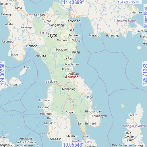
Abuyog GPS coordinates[2]
10° 44' 49.2" North, 125° 0' 38.52" East
| Map corner | latitude | longitude |
|---|---|---|
| Upper-left | 11.43699°, | 124.30758° |
| Center: | 10.747°, | 125.0107° |
| Lower-right: | 10.05543°, | 125.71383° |
| Map W x H: | 153.6×153.6 km | = 95.4×95.4mi |
| max Lat: | 20.78733° ⇑60.2% North |
| Abuyog: | 10.747° |
| min Lat: | ⇓39.8% South 4.65442° |
| min Long | Abuyog | max Long |
| 117.04868° | 125.0107° | 126.58417° |
| W 87.8%⇐ | ⇒12.2% E |
Elevation
Elevation of Abuyog is 6 m = 20 ft, and this is 81.9 m = 269 ft below average elevation for this country.
| Max E: |
2262 m = 7421 ft | 92.7% |
| Avg. | 87.9 m = 288 ft | |
| Abuyog | 6 m = 20 ft | |
Min E: |
-2 m = -7 ft | 7.3% |
See also: Philippines elevation on elevation.city.
Geographical zone
Abuyog is located in North Torrid zone (between Equator and Tropic of Cancer). Distance of Equator is 1195 km =742.5 mi to South.| Distance of | km | miles | from Abuyog |
|---|---|---|---|
| North Pole | 8812.1 | 5475.6 | to North |
| Arctic Circle | 6206.2 | 3856.4 | to North |
| Tropic Cancer | 1411 | 876.8 | to North |
| Equator | 1195 | 742.5 | to South |


Nearby cities:
15 places around Abuyog: (largest is in red/bold)
• Balinsacayao
9.2 km =5.7 mi,  217°
217°
• Balocawehay
5.4 km =3.4 mi,  239°
239°
• Baybay
24.2 km =15 mi,  251°
251°
• Bugho
9.5 km =5.9 mi,  301°
301°
• Cabacuñgan
21 km =13 mi,  351°
351°
• Dulag
23 km =14.3 mi,  5°
5°
• Gabas
23.5 km =14.6 mi,  265°
265°
• Hipasngo
24 km =14.9 mi, 246°
• Kilim
23.7 km =14.7 mi,  260°
260°
• La Paz
17.3 km =10.7 mi,  339°
339°
• Liberty
14.2 km =8.8 mi,  356°
356°
• MacArthur
9.9 km =6.2 mi, 350°
• Mahaplag
16.6 km =10.3 mi,  197°
197°
• Mayorga
17.1 km =10.6 mi, 356°
• Polahongon
24.7 km =15.3 mi,  190°
190°
Sources, notices
• [Note1] Compared only with cities in Philippines existing in our database
• [Src1] Map data: © OpenStreetMap contributors (CC-BY-SA)
• [Src2] Other city data from geonames.org with taken over terms of usage.
• [Src3] Geographical zone / Annual Mean Temperature by Robert A. Rohde @ Wikipedia
