Bagontapay geodata
Bagontapay (Soccsksargen) is a populated place; located in Philippines in Asia/Manila (GMT+8) time zone. With population of 6,747 people, there are 928 cities with bigger population in this country. Compared to other cities in Philippines, 92.9% of cities are located further ↑North; 86.4% of cities are located further ←West and 58.8% of cities have lower elevation than Bagontapay. Note1


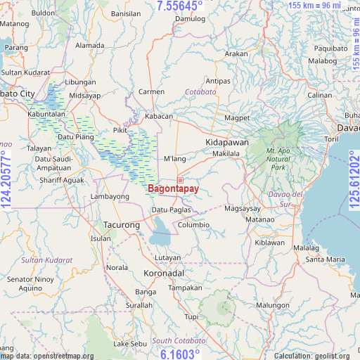
Bagontapay GPS coordinates[2]
6° 51' 32.004" North, 124° 54' 32.004" East
| Map corner | latitude | longitude |
|---|---|---|
| Upper-left | 7.55645°, | 124.20577° |
| Center: | 6.85889°, | 124.90889° |
| Lower-right: | 6.1603°, | 125.61202° |
| Map W x H: | 155.2×155.2 km | = 96.4×96.4mi |
| max Lat: | 20.78733° ⇑92.9% North |
| Bagontapay: | 6.85889° |
| min Lat: | ⇓7.1% South 4.65442° |
| min Long | Bagontapay | max Long |
| 117.04868° | 124.90889° | 126.58417° |
| W 86.4%⇐ | ⇒13.6% E |
Elevation
Elevation of Bagontapay is 32 m = 105 ft, and this is 55.9 m = 183 ft below average elevation for this country.
| Max E: |
2262 m = 7421 ft | 41.2% |
| Avg. | 87.9 m = 288 ft | |
| Bagontapay | 32 m = 105 ft | |
Min E: |
-2 m = -7 ft | 58.8% |
See also: Philippines elevation on elevation.city.
Geographical zone
Bagontapay is located in North Torrid zone (between Equator and Tropic of Cancer). Distance of Equator is 762.6 km =473.9 mi to South.| Distance of | km | miles | from Bagontapay |
|---|---|---|---|
| North Pole | 9244.4 | 5744.2 | to North |
| Arctic Circle | 6638.5 | 4125 | to North |
| Tropic Cancer | 1843.3 | 1145.4 | to North |
| Equator | 762.6 | 473.9 | to South |


Nearby cities:
15 places around Bagontapay: (largest is in red/bold)
• Badak
20.8 km =12.9 mi,  266°
266°
• Bialong
13.7 km =8.5 mi,  350°
350°
• Bual
7 km =4.3 mi,  178°
178°
• Buluan
19.4 km =12.1 mi,  217°
217°
• Columbio
18.3 km =11.4 mi,  170°
170°
• Damawato
22.5 km =14 mi, 218°
• Datu Paglas
12.1 km =7.5 mi,  212°
212°
• Digal
17.1 km =10.6 mi,  226°
226°
• Dunguan
11.4 km =7.1 mi,  332°
332°
• Idtig
16.4 km =10.2 mi,  246°
246°
• Kalaisan
22.6 km =14 mi,  41°
41°
• Katico
22.4 km =13.9 mi,  240°
240°
• Minapan
7.4 km =4.6 mi, 228°
• Paitan
22.5 km =14 mi,  190°
190°
• Tulunan
4.5 km =2.8 mi, 232°
Sources, notices
• [Note1] Compared only with cities in Philippines existing in our database
• [Src1] Map data: © OpenStreetMap contributors (CC-BY-SA)
• [Src2] Other city data from geonames.org with taken over terms of usage.
• [Src3] Geographical zone / Annual Mean Temperature by Robert A. Rohde @ Wikipedia
