Aguada geodata
Aguada (Bicol) is a populated place; located in Philippines in Asia/Manila (GMT+8) time zone. With population of 2,552 people, there are 3207 cities with bigger population in this country. Compared to other cities in Philippines, 56.5% of cities are located further ↓South; 68.3% of cities are located further ←West and 97.1% of cities have higher elevation than Aguada. Note1


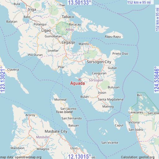
Aguada GPS coordinates[2]
12° 49' 0.012" North, 123° 49' 59.988" East
| Map corner | latitude | longitude |
|---|---|---|
| Upper-left | 13.50133°, | 123.13021° |
| Center: | 12.81667°, | 123.83333° |
| Lower-right: | 12.13015°, | 124.53646° |
| Map W x H: | 152.5×152.5 km | = 94.8×94.8mi |
| max Lat: | 20.78733° ⇑43.5% North |
| Aguada: | 12.81667° |
| min Lat: | ⇓56.5% South 4.65442° |
| min Long | Aguada | max Long |
| 117.04868° | 123.83333° | 126.58417° |
| W 68.3%⇐ | ⇒31.7% E |
Elevation
Elevation of Aguada is 4 m = 13 ft, and this is 83.9 m = 275 ft below average elevation for this country.
| Max E: |
2262 m = 7421 ft | 97.1% |
| Avg. | 87.9 m = 288 ft | |
| Aguada | 4 m = 13 ft | |
Min E: |
-2 m = -7 ft | 2.9% |
See also: Philippines elevation on elevation.city.
Geographical zone
Aguada is located in North Torrid zone (between Equator and Tropic of Cancer). Distance of this Northern Tropic circle is 1180.8 km =733.7 mi to North.| Distance of | km | miles | from Aguada |
|---|---|---|---|
| North Pole | 8582 | 5332.6 | to North |
| Arctic Circle | 5976.1 | 3713.4 | to North |
| Tropic Cancer | 1180.8 | 733.7 | to North |
| Equator | 1425.1 | 885.5 | to South |


Nearby cities:
15 places around Aguada: (largest is in red/bold)
• Bulan
16.8 km =10.4 mi,  164°
164°
• Cabiguan
14.8 km =9.2 mi,  311°
311°
• Caditaan
2.1 km =1.3 mi,  126°
126°
• Castilla
15.6 km =9.7 mi,  19°
19°
• Guruyan
14.4 km =8.9 mi, 126°
• Juban
17.1 km =10.6 mi,  78°
78°
• Lajong
14.6 km =9.1 mi, 82°
• Macalaya
10.5 km =6.5 mi,  320°
320°
• Magallanes
1.4 km =0.9 mi,  13°
13°
• Pili
18.5 km =11.5 mi, 10°
• Sabang
14.3 km =8.9 mi, 130°
• San Francisco
12.9 km =8 mi,  142°
142°
• San Isidro
17.7 km =11 mi, 8°
• San Rafael
18.3 km =11.4 mi,  296°
296°
• San Vicente
18 km =11.2 mi,  356°
356°
Sources, notices
• [Note1] Compared only with cities in Philippines existing in our database
• [Src1] Map data: © OpenStreetMap contributors (CC-BY-SA)
• [Src2] Other city data from geonames.org with taken over terms of usage.
• [Src3] Geographical zone / Annual Mean Temperature by Robert A. Rohde @ Wikipedia
