Magallanes geodata
Magallanes (Bicol) is a seat of a third-order administrative division; located in Philippines in Asia/Manila (GMT+8) time zone. With population of 2,740 people, there are 2880 cities with bigger population in this country. Compared to other cities in Philippines, 56.5% of cities are located further ↓South; 68.3% of cities are located further ←West and 92.7% of cities have higher elevation than Magallanes. Note1


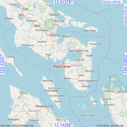
Magallanes GPS coordinates[2]
12° 49' 45.012" North, 123° 50' 11.004" East
| Map corner | latitude | longitude |
|---|---|---|
| Upper-left | 13.51379°, | 123.13327° |
| Center: | 12.82917°, | 123.83639° |
| Lower-right: | 12.14268°, | 124.53952° |
| Map W x H: | 152.5×152.5 km | = 94.8×94.8mi |
| max Lat: | 20.78733° ⇑43.5% North |
| Magallanes: | 12.82917° |
| min Lat: | ⇓56.5% South 4.65442° |
| min Long | Magallanes | max Long |
| 117.04868° | 123.83639° | 126.58417° |
| W 68.3%⇐ | ⇒31.7% E |
Elevation
Elevation of Magallanes is 6 m = 20 ft, and this is 81.9 m = 269 ft below average elevation for this country.
| Max E: |
2262 m = 7421 ft | 92.7% |
| Avg. | 87.9 m = 288 ft | |
| Magallanes | 6 m = 20 ft | |
Min E: |
-2 m = -7 ft | 7.3% |
See also: Philippines elevation on elevation.city.
Geographical zone
Magallanes is located in North Torrid zone (between Equator and Tropic of Cancer). Distance of this Northern Tropic circle is 1179.4 km =732.8 mi to North.| Distance of | km | miles | from Magallanes |
|---|---|---|---|
| North Pole | 8580.6 | 5331.7 | to North |
| Arctic Circle | 5974.7 | 3712.5 | to North |
| Tropic Cancer | 1179.4 | 732.8 | to North |
| Equator | 1426.5 | 886.4 | to South |


Nearby cities:
15 places around Magallanes: (largest is in red/bold)
• Aguada
1.4 km =0.9 mi,  193°
193°
• Bulan
18 km =11.2 mi,  166°
166°
• Cabiguan
14.2 km =8.8 mi,  306°
306°
• Caditaan
3 km =1.9 mi,  152°
152°
• Castilla
14.2 km =8.8 mi,  20°
20°
• Cumadcad
17.6 km =10.9 mi,  343°
343°
• Guruyan
15 km =9.3 mi,  132°
132°
• Juban
16.5 km =10.3 mi,  82°
82°
• Lajong
14.1 km =8.8 mi,  88°
88°
• Macalaya
9.7 km =6 mi, 313°
• Pili
17.1 km =10.6 mi,  10°
10°
• Sabang
15 km =9.3 mi,  135°
135°
• San Francisco
13.9 km =8.6 mi, 146°
• San Isidro
16.3 km =10.1 mi, 7°
• San Vicente
16.6 km =10.3 mi,  354°
354°
Sources, notices
• [Note1] Compared only with cities in Philippines existing in our database
• [Src1] Map data: © OpenStreetMap contributors (CC-BY-SA)
• [Src2] Other city data from geonames.org with taken over terms of usage.
• [Src3] Geographical zone / Annual Mean Temperature by Robert A. Rohde @ Wikipedia
