Gadani geodata
Gadani (Balochistan) is a populated place; located in Pakistan in Asia/Karachi (GMT+5) time zone. With population of 13,427 people, there are 330 cities with bigger population in this country. Compared to other cities in Pakistan, 94.6% of cities are located further ↑North; 96.2% of cities are located further →East and 98% of cities have higher elevation than Gadani. Note1


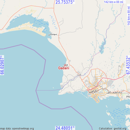
Gadani GPS coordinates[2]
25° 7' 7.644" North, 66° 43' 55.884" East
| Map corner | latitude | longitude |
|---|---|---|
| Upper-left | 25.75375°, | 66.02907° |
| Center: | 25.11879°, | 66.73219° |
| Lower-right: | 24.48051°, | 67.43532° |
| Map W x H: | 141.6×141.6 km | = 88×88mi |
| max Lat: | 36.32162° ⇑94.6% North |
| Gadani: | 25.11879° |
| min Lat: | ⇓5.4% South 24.14422° |
| min Long | Gadani | max Long |
| 61.74573° | 66.73219° | 75.63372° |
| W 3.8%⇐ | ⇒96.2% E |
Elevation
Elevation of Gadani is 9 m = 30 ft, and this is 336 m = 1102 ft below average elevation for this country.
| Max E: |
2732 m = 8963 ft | 98% |
| Avg. | 345 m = 1132 ft | |
| Gadani | 9 m = 30 ft | |
Min E: |
3 m = 10 ft | 2% |
See also: Pakistan elevation on elevation.city.
Geographical zone
Gadani is located in North temperate zone (between Tropic of Cancer and the Arctic Circle). Distance of this Northern Tropic circle is 187 km =116.2 mi to South.| Distance of | km | miles | from Gadani |
|---|---|---|---|
| North Pole | 7214.1 | 4482.6 | to North |
| Arctic Circle | 4608.2 | 2863.4 | to North |
| Tropic Cancer | 187 | 116.2 | to South |
| Equator | 2792.9 | 1735.4 | to South |


Nearby cities:
15 places around Gadani: (largest is in red/bold)
• Bela
130.2 km =80.9 mi,  341°
341°
• Bulri
163.8 km =101.8 mi,  99°
99°
• Chuhar Jamali
150.6 km =93.6 mi,  122°
122°
• Daromehar
150.3 km =93.4 mi, 103°
• Gharo
95.7 km =59.5 mi, 115°
• Jamshoro
159.6 km =99.2 mi,  77°
77°
• Karachi
40.1 km =24.9 mi,  135°
135°
• Keti Bandar
130.5 km =81.1 mi,  146°
146°
• Kotri
160.9 km =100 mi, 80°
• Malir Cantonment
51.6 km =32.1 mi,  112°
112°
• Mirpur Bhtoro
160.1 km =99.5 mi, 105°
• Mirpur Sakro
110.5 km =68.7 mi,  125°
125°
• Nooriabad
107.6 km =66.9 mi,  86°
86°
• Thatta
127 km =78.9 mi, 108°
• Uthal
77.3 km =48 mi,  351°
351°
Sources, notices
• [Note1] Compared only with cities in Pakistan existing in our database
• [Src1] Map data: © OpenStreetMap contributors (CC-BY-SA)
• [Src2] Other city data from geonames.org with taken over terms of usage.
• [Src3] Geographical zone / Annual Mean Temperature by Robert A. Rohde @ Wikipedia
