Bela geodata
Bela (Balochistan) is a populated place; located in Pakistan in Asia/Karachi (GMT+5) time zone. With population of 20,119 people, there are 270 cities with bigger population in this country. Compared to other cities in Pakistan, 86.2% of cities are located further ↑North; 97.5% of cities are located further →East and 69.1% of cities have higher elevation than Bela. Note1


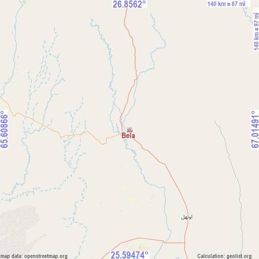
Bela GPS coordinates[2]
26° 13' 37.848" North, 66° 18' 42.408" East
| Map corner | latitude | longitude |
|---|---|---|
| Upper-left | 26.8562°, | 65.60866° |
| Center: | 26.22718°, | 66.31178° |
| Lower-right: | 25.59474°, | 67.01491° |
| Map W x H: | 140.3×140.3 km | = 87.2×87.2mi |
| max Lat: | 36.32162° ⇑86.2% North |
| Bela: | 26.22718° |
| min Lat: | ⇓13.8% South 24.14422° |
| min Long | Bela | max Long |
| 61.74573° | 66.31178° | 75.63372° |
| W 2.5%⇐ | ⇒97.5% E |
Elevation
Elevation of Bela is 92 m = 302 ft, and this is 253 m = 830 ft below average elevation for this country.
| Max E: |
2732 m = 8963 ft | 69.1% |
| Avg. | 345 m = 1132 ft | |
| Bela | 92 m = 302 ft | |
Min E: |
3 m = 10 ft | 30.9% |
See also: Pakistan elevation on elevation.city.
Geographical zone
Bela is located in North temperate zone (between Tropic of Cancer and the Arctic Circle). Distance of this Northern Tropic circle is 310.3 km =192.8 mi to South.| Distance of | km | miles | from Bela |
|---|---|---|---|
| North Pole | 7090.9 | 4406.1 | to North |
| Arctic Circle | 4485 | 2786.8 | to North |
| Tropic Cancer | 310.3 | 192.8 | to South |
| Equator | 2916.2 | 1812 | to South |


Nearby cities:
15 places around Bela: (largest is in red/bold)
• Awaran
110.6 km =68.7 mi,  283°
283°
• Bhan
145.1 km =90.2 mi,  75°
75°
• Dadu
156.2 km =97.1 mi,  69°
69°
• Daulatpur
168.1 km =104.5 mi, 79°
• Gadani
130.2 km =80.9 mi,  161°
161°
• Goth Phulji
154.5 km =96 mi,  61°
61°
• Johi
139.6 km =86.7 mi, 68°
• Karachi
167.3 km =104 mi, 155°
• Khairpur Nathan Shah
170.9 km =106.2 mi, 55°
• Khuzdar
178.7 km =111 mi,  9°
9°
• Malir Cantonment
168.6 km =104.8 mi,  147°
147°
• Moro
174.9 km =108.7 mi, 73°
• Sehwan
156 km =96.9 mi, 81°
• Sīta Road
177.2 km =110.1 mi, 59°
• Uthal
56 km =34.8 mi, 146°
Sources, notices
• [Note1] Compared only with cities in Pakistan existing in our database
• [Src1] Map data: © OpenStreetMap contributors (CC-BY-SA)
• [Src2] Other city data from geonames.org with taken over terms of usage.
• [Src3] Geographical zone / Annual Mean Temperature by Robert A. Rohde @ Wikipedia
