Skrzyszów geodata
Skrzyszów (Silesia) is a populated place; located in Poland in Europe/Warsaw (GMT+2) time zone. With population of 3,429 people, there are 928 cities with bigger population in this country. Compared to other cities in Poland, 85.6% of cities are located further ↑North; 68.3% of cities are located further →East and 78.1% of cities have lower elevation than Skrzyszów. Note1


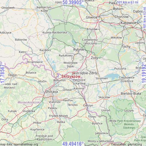
Skrzyszów GPS coordinates[2]
49° 56' 55.428" North, 18° 29' 19.644" East
| Map corner | latitude | longitude |
|---|---|---|
| Upper-left | 50.39905°, | 17.78567° |
| Center: | 49.94873°, | 18.48879° |
| Lower-right: | 49.49416°, | 19.19192° |
| Map W x H: | 100.6×100.6 km | = 62.5×62.5mi |
| max Lat: | 54.83135° ⇑85.6% North |
| Skrzyszów: | 49.94873° |
| min Lat: | ⇓14.4% South 49.21328° |
| min Long | Skrzyszów | max Long |
| 14.20249° | 18.48879° | 24.03723° |
| W 31.7%⇐ | ⇒68.3% E |
Elevation
Elevation of Skrzyszów is 258 m = 846 ft, and this is 66.6 m = 219 ft above average elevation for this country.
| Max E: |
974 m = 3196 ft | 21.9% |
| Skrzyszów | 258 m 846 ft | |
| Avg. | 191.4 m = 628 ft | |
Min E: |
-3 m = -10 ft | 78.1% |
See also: Poland elevation on elevation.city.
Geographical zone
Skrzyszów is located in North temperate zone (between Tropic of Cancer and the Arctic Circle). Distance of this North polar circle is 1847.4 km =1147.9 mi to North.| Distance of | km | miles | from Skrzyszów |
|---|---|---|---|
| North Pole | 4453.3 | 2767.2 | to North |
| Arctic Circle | 1847.4 | 1147.9 | to North |
| Tropic Cancer | 2947.9 | 1831.7 | to South |
| Equator | 5553.8 | 3451 | to South |


Nearby cities:
15 places around Skrzyszów: (largest is in red/bold)
• Bełsznica
9.6 km =6 mi,  289°
289°
• Czyżowice
7.3 km =4.5 mi,  303°
303°
• Godów
2.8 km =1.7 mi,  195°
195°
• Gogołowa
8.4 km =5.2 mi,  59°
59°
• Gorzyce
6.5 km =4 mi,  280°
280°
• Gorzyczki
6.1 km =3.8 mi,  270°
270°
• Gołkowice
4.3 km =2.7 mi,  154°
154°
• Jastrzębie Zdrój
6.2 km =3.9 mi,  83°
83°
• Markłowice
7.9 km =4.9 mi,  16°
16°
• Mszana
3.6 km =2.2 mi,  50°
50°
• Połomia
6.5 km =4 mi,  42°
42°
• Turza Śląska
4.5 km =2.8 mi,  305°
305°
• Wodzisław Śląski
6.2 km =3.9 mi,  348°
348°
• Łaziska
3.3 km =2.1 mi,  244°
244°
• Świerklany Dolne
10 km =6.2 mi, 39°
Sources, notices
• [Note1] Compared only with cities in Poland existing in our database
• [Src1] Map data: © OpenStreetMap contributors (CC-BY-SA)
• [Src2] Other city data from geonames.org with taken over terms of usage.
• [Src3] Geographical zone / Annual Mean Temperature by Robert A. Rohde @ Wikipedia
