Jaworze geodata
Jaworze (Silesia) is a populated place; located in Poland in Europe/Warsaw (GMT+2) time zone. With population of 6,723 people, there are 560 cities with bigger population in this country. Compared to other cities in Poland, 92% of cities are located further ↑North; 60.9% of cities are located further →East and 93.6% of cities have lower elevation than Jaworze. Note1


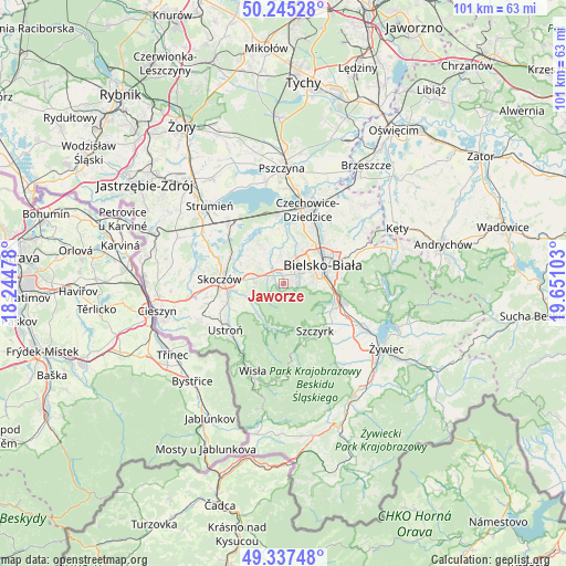
Jaworze GPS coordinates[2]
49° 47' 36.636" North, 18° 56' 52.44" East
| Map corner | latitude | longitude |
|---|---|---|
| Upper-left | 50.24528°, | 18.24478° |
| Center: | 49.79351°, | 18.9479° |
| Lower-right: | 49.33748°, | 19.65103° |
| Map W x H: | 100.9×100.9 km | = 62.7×62.7mi |
| max Lat: | 54.83135° ⇑92% North |
| Jaworze: | 49.79351° |
| min Lat: | ⇓8% South 49.21328° |
| min Long | Jaworze | max Long |
| 14.20249° | 18.9479° | 24.03723° |
| W 39.1%⇐ | ⇒60.9% E |
Elevation
Elevation of Jaworze is 381 m = 1250 ft, and this is 189.6 m = 622 ft above average elevation for this country.
| Max E: |
974 m = 3196 ft | 6.4% |
| Jaworze | 381 m 1250 ft | |
| Avg. | 191.4 m = 628 ft | |
Min E: |
-3 m = -10 ft | 93.6% |
See also: Poland elevation on elevation.city.
Geographical zone
Jaworze is located in North temperate zone (between Tropic of Cancer and the Arctic Circle). Distance of this North polar circle is 1864.7 km =1158.7 mi to North.| Distance of | km | miles | from Jaworze |
|---|---|---|---|
| North Pole | 4470.5 | 2777.8 | to North |
| Arctic Circle | 1864.7 | 1158.7 | to North |
| Tropic Cancer | 2930.6 | 1821 | to South |
| Equator | 5536.5 | 3440.2 | to South |


Nearby cities:
15 places around Jaworze: (largest is in red/bold)
• Bielsko-Biala
7.8 km =4.8 mi,  65°
65°
• Brenna
8.2 km =5.1 mi,  203°
203°
• Bronów
9.6 km =6 mi,  348°
348°
• Bystra
8.8 km =5.5 mi,  114°
114°
• Górki Małe
7.2 km =4.5 mi,  244°
244°
• Górki Wielkie
8.5 km =5.3 mi,  259°
259°
• Harbutowice
10.2 km =6.3 mi, 261°
• Jasienica
2.9 km =1.8 mi,  319°
319°
• Kiczyce
11 km =6.8 mi,  288°
288°
• Kowale
8.5 km =5.3 mi,  295°
295°
• Mazańcowice
7.5 km =4.7 mi,  16°
16°
• Pierściec
10.6 km =6.6 mi, 294°
• Pogórze
7.5 km =4.7 mi,  275°
275°
• Szczyrk
10.4 km =6.5 mi,  144°
144°
• Wilkowice
10.7 km =6.6 mi, 108°
Sources, notices
• [Note1] Compared only with cities in Poland existing in our database
• [Src1] Map data: © OpenStreetMap contributors (CC-BY-SA)
• [Src2] Other city data from geonames.org with taken over terms of usage.
• [Src3] Geographical zone / Annual Mean Temperature by Robert A. Rohde @ Wikipedia
