Poświętne geodata
Poświętne (Łódź Voivodeship) is a seat of a third-order administrative division; located in Poland in Europe/Warsaw (GMT+2) time zone. With population of 412 people, there are 3582 cities with bigger population in this country. Compared to other cities in Poland, 56.9% of cities are located further ↓South; 63.4% of cities are located further ←West and 53.3% of cities have higher elevation than Poświętne. Note1


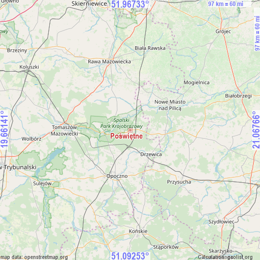
Poświętne GPS coordinates[2]
51° 31' 55.308" North, 20° 21' 52.308" East
| Map corner | latitude | longitude |
|---|---|---|
| Upper-left | 51.96733°, | 19.66141° |
| Center: | 51.53203°, | 20.36453° |
| Lower-right: | 51.09253°, | 21.06766° |
| Map W x H: | 97.3×97.3 km | = 60.5×60.5mi |
| max Lat: | 54.83135° ⇑43.1% North |
| Poświętne: | 51.53203° |
| min Lat: | ⇓56.9% South 49.21328° |
| min Long | Poświętne | max Long |
| 14.20249° | 20.36453° | 24.03723° |
| W 63.4%⇐ | ⇒36.6% E |
Elevation
Elevation of Poświętne is 163 m = 535 ft, and this is 28.4 m = 93 ft below average elevation for this country.
| Max E: |
974 m = 3196 ft | 53.3% |
| Avg. | 191.4 m = 628 ft | |
| Poświętne | 163 m = 535 ft | |
Min E: |
-3 m = -10 ft | 46.7% |
See also: Poland elevation on elevation.city.
Geographical zone
Poświętne is located in North temperate zone (between Tropic of Cancer and the Arctic Circle). Distance of this North polar circle is 1671.3 km =1038.5 mi to North.| Distance of | km | miles | from Poświętne |
|---|---|---|---|
| North Pole | 4277.2 | 2657.7 | to North |
| Arctic Circle | 1671.3 | 1038.5 | to North |
| Tropic Cancer | 3123.9 | 1941.1 | to South |
| Equator | 5729.8 | 3560.3 | to South |


Nearby cities:
15 places around Poświętne: (largest is in red/bold)
• Bukowiec Opoczyński
14.5 km =9 mi,  208°
208°
• Cielądz
20.5 km =12.7 mi,  356°
356°
• Czerniewice
19.8 km =12.3 mi,  313°
313°
• Drzewica
11.9 km =7.4 mi,  139°
139°
• Gielniów
16.7 km =10.4 mi,  151°
151°
• Inowłódz
9.8 km =6.1 mi,  266°
266°
• Klwów
18.8 km =11.7 mi,  89°
89°
• Mroczków Gościnny
17 km =10.6 mi,  173°
173°
• Nowe Miasto nad Pilicą
17.5 km =10.9 mi,  56°
56°
• Odrzywół
13.3 km =8.3 mi,  96°
96°
• Opoczno
18.4 km =11.4 mi,  198°
198°
• Rusinów
18.7 km =11.6 mi,  124°
124°
• Rzeczyca
8.8 km =5.5 mi,  326°
326°
• Sławno
21.9 km =13.6 mi,  225°
225°
• Wola Załężna
15.8 km =9.8 mi,  191°
191°
Sources, notices
• [Note1] Compared only with cities in Poland existing in our database
• [Src1] Map data: © OpenStreetMap contributors (CC-BY-SA)
• [Src2] Other city data from geonames.org with taken over terms of usage.
• [Src3] Geographical zone / Annual Mean Temperature by Robert A. Rohde @ Wikipedia
