Czchów geodata
Czchów (Lesser Poland) is a seat of a third-order administrative division; located in Poland in Europe/Warsaw (GMT+2) time zone. With population of 2,256 people, there are 1335 cities with bigger population in this country. Compared to other cities in Poland, 90.3% of cities are located further ↑North; 67.2% of cities are located further ←West and 69.6% of cities have lower elevation than Czchów. Note1


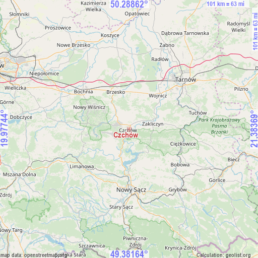
Czchów GPS coordinates[2]
49° 50' 14.136" North, 20° 40' 50.016" East
| Map corner | latitude | longitude |
|---|---|---|
| Upper-left | 50.28862°, | 19.97744° |
| Center: | 49.83726°, | 20.68056° |
| Lower-right: | 49.38164°, | 21.38369° |
| Map W x H: | 100.8×100.8 km | = 62.6×62.6mi |
| max Lat: | 54.83135° ⇑90.3% North |
| Czchów: | 49.83726° |
| min Lat: | ⇓9.7% South 49.21328° |
| min Long | Czchów | max Long |
| 14.20249° | 20.68056° | 24.03723° |
| W 67.2%⇐ | ⇒32.8% E |
Elevation
Elevation of Czchów is 228 m = 748 ft, and this is 36.6 m = 120 ft above average elevation for this country.
| Max E: |
974 m = 3196 ft | 30.4% |
| Czchów | 228 m 748 ft | |
| Avg. | 191.4 m = 628 ft | |
Min E: |
-3 m = -10 ft | 69.6% |
See also: Poland elevation on elevation.city.
Geographical zone
Czchów is located in North temperate zone (between Tropic of Cancer and the Arctic Circle). Distance of this North polar circle is 1859.8 km =1155.6 mi to North.| Distance of | km | miles | from Czchów |
|---|---|---|---|
| North Pole | 4465.7 | 2774.9 | to North |
| Arctic Circle | 1859.8 | 1155.6 | to North |
| Tropic Cancer | 2935.5 | 1824 | to South |
| Equator | 5541.4 | 3443.3 | to South |


Nearby cities:
15 places around Czchów: (largest is in red/bold)
• Gnojnik
8.1 km =5 mi,  320°
320°
• Gródek Nad Dunajcem
10.7 km =6.6 mi,  159°
159°
• Gwoździec
8.3 km =5.2 mi,  42°
42°
• Iwkowa
6.9 km =4.3 mi,  250°
250°
• Jaworsko
9.1 km =5.7 mi,  33°
33°
• Lipnica Murowana
11.3 km =7 mi,  282°
282°
• Niedźwiedza
7.2 km =4.5 mi,  21°
21°
• Okocim
13.6 km =8.5 mi,  335°
335°
• Olszyny
11.6 km =7.2 mi,  58°
58°
• Porąbka Uszewska
11.7 km =7.3 mi,  3°
3°
• Wróblowice
13.2 km =8.2 mi,  70°
70°
• Zakliczyn
9.5 km =5.9 mi,  77°
77°
• Złota
4.9 km =3 mi,  10°
10°
• Łoniowa
8.8 km =5.5 mi, 6°
• Łososina Dolna
10.4 km =6.5 mi,  199°
199°
Sources, notices
• [Note1] Compared only with cities in Poland existing in our database
• [Src1] Map data: © OpenStreetMap contributors (CC-BY-SA)
• [Src2] Other city data from geonames.org with taken over terms of usage.
• [Src3] Geographical zone / Annual Mean Temperature by Robert A. Rohde @ Wikipedia
