São Roque geodata
São Roque (Madeira) is a populated place; located in Portugal in Atlantic/Madeira (GMT+1) time zone. With population of 9,385 people, there are 233 cities with bigger population in this country. Compared to other cities in Portugal, 99.4% of cities are located further ↑North; 90.8% of cities are located further →East and 80.8% of cities have lower elevation than São Roque. Note1


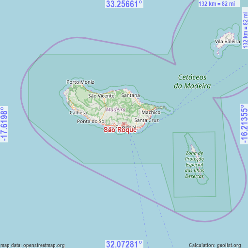
São Roque GPS coordinates[2]
32° 40' 0.012" North, 16° 55' 0.012" West
| Map corner | latitude | longitude |
|---|---|---|
| Upper-left | 33.25661°, | -17.6198° |
| Center: | 32.66667°, | -16.91667° |
| Lower-right: | 32.07281°, | -16.21355° |
| Map W x H: | 131.6×131.6 km | = 81.8×81.8mi |
| max Lat: | 42.11337° ⇑99.4% North |
| São Roque: | 32.66667° |
| min Lat: | ⇓0.6% South 32.6448° |
| min Long | São Roque | max Long |
| -31.17847° | -16.91667° | -6.27308° |
| W 9.2%⇐ | ⇒90.8% E |
Elevation
Elevation of São Roque is 294 m = 965 ft, and this is 117 m = 384 ft above average elevation for this country.
| Max E: |
1008 m = 3307 ft | 19.2% |
| São Roque | 294 m 965 ft | |
| Avg. | 177 m = 581 ft | |
Min E: |
-128 m = -420 ft | 80.8% |
See also: Portugal elevation on elevation.city.
Geographical zone
São Roque is located in North temperate zone (between Tropic of Cancer and the Arctic Circle). Distance of this Northern Tropic circle is 1026.3 km =637.7 mi to South.| Distance of | km | miles | from São Roque |
|---|---|---|---|
| North Pole | 6374.9 | 3961.2 | to North |
| Arctic Circle | 3769 | 2341.9 | to North |
| Tropic Cancer | 1026.3 | 637.7 | to South |
| Equator | 3632.2 | 2256.9 | to South |


Nearby cities:
15 places around São Roque: (largest is in red/bold)
• Camacha
6.9 km =4.3 mi,  78°
78°
• Campanário
11.1 km =6.9 mi,  269°
269°
• Caniço
7.6 km =4.7 mi,  103°
103°
• Curral das Freiras
7.8 km =4.8 mi,  320°
320°
• Câmara de Lobos
5.9 km =3.7 mi,  252°
252°
• Faial
14.4 km =8.9 mi,  25°
25°
• Funchal
0.8 km =0.5 mi,  262°
262°
• Machico
15 km =9.3 mi,  68°
68°
• Nossa Senhora do Monte
1.6 km =1 mi,  90°
90°
• Porto da Cruz
13.6 km =8.5 mi,  35°
35°
• Ribeira Brava
13.7 km =8.5 mi, 273°
• Santa Cruz
11.7 km =7.3 mi, 78°
• Santo da Serra
11 km =6.8 mi,  55°
55°
• São Martinho
3.2 km =2 mi,  219°
219°
• Água de Pena
13.5 km =8.4 mi, 73°
Sources, notices
• [Note1] Compared only with cities in Portugal existing in our database
• [Src1] Map data: © OpenStreetMap contributors (CC-BY-SA)
• [Src2] Other city data from geonames.org with taken over terms of usage.
• [Src3] Geographical zone / Annual Mean Temperature by Robert A. Rohde @ Wikipedia
