Algueirão geodata
Algueirão (Lisbon) is a populated place; located in Portugal in Europe/Lisbon (GMT+1) time zone. With population of 66,250 people, there are 10 cities with bigger population in this country. Compared to other cities in Portugal, 69.2% of cities are located further ↑North; 87.6% of cities are located further →East and 63.5% of cities have lower elevation than Algueirão. Note1


Algueirão GPS coordinates[2]
38° 47' 51.504" North, 9° 20' 37.32" West
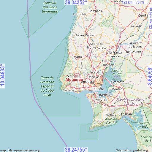
| Map corner | latitude | longitude |
|---|---|---|
| Upper-left | 39.34352°, | -10.04683° |
| Center: | 38.79764°, | -9.3437° |
| Lower-right: | 38.24755°, | -8.64058° |
| Map W x H: | 121.9×121.9 km | = 75.7×75.7mi |
| max Lat: | 42.11337° ⇑69.2% North |
| Algueirão: | 38.79764° |
| min Lat: | ⇓30.8% South 32.6448° |
| min Long | Algueirão | max Long |
| -31.17847° | -9.3437° | -6.27308° |
| W 12.4%⇐ | ⇒87.6% E |
Elevation
Elevation of Algueirão is 170 m = 558 ft, and this is 7 m = 23 ft below average elevation for this country.
| Max E: |
1008 m = 3307 ft | 36.5% |
| Avg. | 177 m = 581 ft | |
| Algueirão | 170 m = 558 ft | |
Min E: |
-128 m = -420 ft | 63.5% |
See also: Algueirão elevation on elevation.city.
Geographical zone
Algueirão is located in North temperate zone (between Tropic of Cancer and the Arctic Circle). Distance of this Northern Tropic circle is 1708 km =1061.3 mi to South.| Distance of | km | miles | from Algueirão |
|---|---|---|---|
| North Pole | 5693.2 | 3537.6 | to North |
| Arctic Circle | 3087.3 | 1918.4 | to North |
| Tropic Cancer | 1708 | 1061.3 | to South |
| Equator | 4313.9 | 2680.5 | to South |


Nearby cities:
15 places around Algueirão: (largest is in red/bold)
• Alcabideche
9.1 km =5.7 mi,  218°
218°
• Almargem
8.1 km =5 mi,  49°
49°
• Barcarena
9.1 km =5.7 mi,  142°
142°
• Belas
7.3 km =4.5 mi,  108°
108°
• Cacém
5.2 km =3.2 mi,  130°
130°
• Colares
8.9 km =5.5 mi,  271°
271°
• Fontanelas
10 km =6.2 mi,  304°
304°
• Massamá
7.4 km =4.6 mi, 132°
• Mem Martins
0.4 km =0.2 mi,  168°
168°
• Pero Pinheiro
6.9 km =4.3 mi,  14°
14°
• Porto Salvo
9 km =5.6 mi,  157°
157°
• Queluz
9 km =5.6 mi,  120°
120°
• Rio de Mouro
3.8 km =2.4 mi, 158°
• Sintra
3 km =1.9 mi,  277°
277°
• São João das Lampas
9.7 km =6 mi,  330°
330°
Sources, notices
• [Note1] Compared only with cities in Portugal existing in our database
• [Src1] Map data: © OpenStreetMap contributors (CC-BY-SA)
• [Src2] Other city data from geonames.org with taken over terms of usage.
• [Src3] Geographical zone / Annual Mean Temperature by Robert A. Rohde @ Wikipedia
