Válega geodata
Válega (Aveiro) is a populated place; located in Portugal in Europe/Lisbon (GMT+1) time zone. With population of 7,005 people, there are 321 cities with bigger population in this country. Compared to other cities in Portugal, 66.5% of cities are located further ↓South; 51.6% of cities are located further →East and 74.9% of cities have higher elevation than Válega. Note1


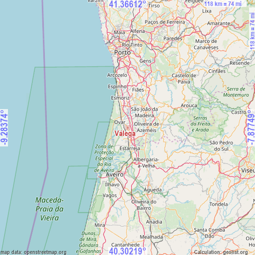
Válega GPS coordinates[2]
40° 50' 10.644" North, 8° 34' 50.196" West
| Map corner | latitude | longitude |
|---|---|---|
| Upper-left | 41.36612°, | -9.28374° |
| Center: | 40.83629°, | -8.58061° |
| Lower-right: | 40.30219°, | -7.87749° |
| Map W x H: | 118.3×118.3 km | = 73.5×73.5mi |
| max Lat: | 42.11337° ⇑33.5% North |
| Válega: | 40.83629° |
| min Lat: | ⇓66.5% South 32.6448° |
| min Long | Válega | max Long |
| -31.17847° | -8.58061° | -6.27308° |
| W 48.4%⇐ | ⇒51.6% E |
Elevation
Elevation of Válega is 41 m = 135 ft, and this is 136 m = 446 ft below average elevation for this country.
| Max E: |
1008 m = 3307 ft | 74.9% |
| Avg. | 177 m = 581 ft | |
| Válega | 41 m = 135 ft | |
Min E: |
-128 m = -420 ft | 25.1% |
See also: Portugal elevation on elevation.city.
Geographical zone
Válega is located in North temperate zone (between Tropic of Cancer and the Arctic Circle). Distance of this Northern Tropic circle is 1934.7 km =1202.2 mi to South.| Distance of | km | miles | from Válega |
|---|---|---|---|
| North Pole | 5466.5 | 3396.7 | to North |
| Arctic Circle | 2860.6 | 1777.5 | to North |
| Tropic Cancer | 1934.7 | 1202.2 | to South |
| Equator | 4540.6 | 2821.4 | to South |


Nearby cities:
15 places around Válega: (largest is in red/bold)
• Avanca
3.3 km =2.1 mi,  167°
167°
• Beduido
8.2 km =5.1 mi, 168°
• Cucujães
7.5 km =4.7 mi,  55°
55°
• Espargo
9.8 km =6.1 mi,  2°
2°
• Estarreja
8.9 km =5.5 mi,  175°
175°
• Feira
10.4 km =6.5 mi,  17°
17°
• Mosteirô
8 km =5 mi,  30°
30°
• Oliveira de Azemeis
8.9 km =5.5 mi,  86°
86°
• Ovar
4.5 km =2.8 mi,  303°
303°
• Pardilhó
5.6 km =3.5 mi,  222°
222°
• Salreu
10.9 km =6.8 mi, 169°
• São João
4.2 km =2.6 mi,  328°
328°
• São João da Madeira
10.4 km =6.5 mi,  46°
46°
• São Roque
10 km =6.2 mi,  66°
66°
• Vila Chã
10.2 km =6.3 mi, 70°
Sources, notices
• [Note1] Compared only with cities in Portugal existing in our database
• [Src1] Map data: © OpenStreetMap contributors (CC-BY-SA)
• [Src2] Other city data from geonames.org with taken over terms of usage.
• [Src3] Geographical zone / Annual Mean Temperature by Robert A. Rohde @ Wikipedia
