Marinhas geodata
Marinhas (Braga) is a populated place; located in Portugal in Europe/Lisbon (GMT+1) time zone. With population of 6,052 people, there are 357 cities with bigger population in this country. Compared to other cities in Portugal, 95.1% of cities are located further ↓South; 67.5% of cities are located further →East and 91.2% of cities have higher elevation than Marinhas. Note1


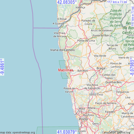
Marinhas GPS coordinates[2]
41° 33' 32.616" North, 8° 46' 58.692" West
| Map corner | latitude | longitude |
|---|---|---|
| Upper-left | 42.08305°, | -9.4861° |
| Center: | 41.55906°, | -8.78297° |
| Lower-right: | 41.03079°, | -8.07985° |
| Map W x H: | 117×117 km | = 72.7×72.7mi |
| max Lat: | 42.11337° ⇑4.9% North |
| Marinhas: | 41.55906° |
| min Lat: | ⇓95.1% South 32.6448° |
| min Long | Marinhas | max Long |
| -31.17847° | -8.78297° | -6.27308° |
| W 32.5%⇐ | ⇒67.5% E |
Elevation
Elevation of Marinhas is 15 m = 49 ft, and this is 162 m = 531 ft below average elevation for this country.
| Max E: |
1008 m = 3307 ft | 91.2% |
| Avg. | 177 m = 581 ft | |
| Marinhas | 15 m = 49 ft | |
Min E: |
-128 m = -420 ft | 8.8% |
See also: Portugal elevation on elevation.city.
Geographical zone
Marinhas is located in North temperate zone (between Tropic of Cancer and the Arctic Circle). Distance of this Northern Tropic circle is 2015 km =1252.1 mi to South.| Distance of | km | miles | from Marinhas |
|---|---|---|---|
| North Pole | 5386.1 | 3346.8 | to North |
| Arctic Circle | 2780.2 | 1727.5 | to North |
| Tropic Cancer | 2015 | 1252.1 | to South |
| Equator | 4620.9 | 2871.3 | to South |


Nearby cities:
15 places around Marinhas: (largest is in red/bold)
• Apúlia
8.4 km =5.2 mi,  169°
169°
• Apúlia e Fão
5.3 km =3.3 mi, 170°
• Barqueiros
8.7 km =5.4 mi,  150°
150°
• Cristelo
11.3 km =7 mi,  141°
141°
• Esposende
2.6 km =1.6 mi,  178°
178°
• Estela
12.5 km =7.8 mi, 167°
• Faria
12.6 km =7.8 mi,  132°
132°
• Fornelos
9.9 km =6.2 mi,  117°
117°
• Gandra
4.5 km =2.8 mi,  156°
156°
• Mariz
9.9 km =6.2 mi,  110°
110°
• Paradela
13.7 km =8.5 mi, 141°
• Perelhal
8.4 km =5.2 mi, 112°
• Vila Cova
5.6 km =3.5 mi,  99°
99°
• Vila Frescainha
12.1 km =7.5 mi, 100°
• Vila Seca
10.4 km =6.5 mi, 128°
Sources, notices
• [Note1] Compared only with cities in Portugal existing in our database
• [Src1] Map data: © OpenStreetMap contributors (CC-BY-SA)
• [Src2] Other city data from geonames.org with taken over terms of usage.
• [Src3] Geographical zone / Annual Mean Temperature by Robert A. Rohde @ Wikipedia
