Mangualde geodata
Mangualde (Viseu) is a seat of a second-order administrative division; located in Portugal in Europe/Lisbon (GMT+1) time zone. With population of 8,895 people, there are 250 cities with bigger population in this country. Compared to other cities in Portugal, 62.9% of cities are located further ↓South; 86.4% of cities are located further ←West and 92.4% of cities have lower elevation than Mangualde. Note1


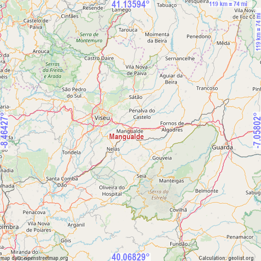
Mangualde GPS coordinates[2]
40° 36' 15.3" North, 7° 45' 40.14" West
| Map corner | latitude | longitude |
|---|---|---|
| Upper-left | 41.13594°, | -8.46427° |
| Center: | 40.60425°, | -7.76115° |
| Lower-right: | 40.06829°, | -7.05802° |
| Map W x H: | 118.7×118.7 km | = 73.8×73.8mi |
| max Lat: | 42.11337° ⇑37.1% North |
| Mangualde: | 40.60425° |
| min Lat: | ⇓62.9% South 32.6448° |
| min Long | Mangualde | max Long |
| -31.17847° | -7.76115° | -6.27308° |
| W 86.4%⇐ | ⇒13.6% E |
Elevation
Elevation of Mangualde is 543 m = 1781 ft, and this is 366 m = 1201 ft above average elevation for this country.
| Max E: |
1008 m = 3307 ft | 7.6% |
| Mangualde | 543 m 1781 ft | |
| Avg. | 177 m = 581 ft | |
Min E: |
-128 m = -420 ft | 92.4% |
See also: Portugal elevation on elevation.city.
Geographical zone
Mangualde is located in North temperate zone (between Tropic of Cancer and the Arctic Circle). Distance of this Northern Tropic circle is 1908.9 km =1186.1 mi to South.| Distance of | km | miles | from Mangualde |
|---|---|---|---|
| North Pole | 5492.3 | 3412.8 | to North |
| Arctic Circle | 2886.4 | 1793.5 | to North |
| Tropic Cancer | 1908.9 | 1186.1 | to South |
| Equator | 4514.8 | 2805.4 | to South |


Nearby cities:
15 places around Mangualde: (largest is in red/bold)
• Abraveses
16 km =9.9 mi,  302°
302°
• Cabanas de Viriato
22.9 km =14.2 mi,  231°
231°
• Campo
17.5 km =10.9 mi,  312°
312°
• Canas de Senhorim
16.4 km =10.2 mi, 225°
• Carregal do Sal
27.7 km =17.2 mi, 226°
• Fornos de Algodres
18.8 km =11.7 mi,  81°
81°
• Lapa do Lobo
19.4 km =12.1 mi,  222°
222°
• Mesquitela
2.4 km =1.5 mi,  149°
149°
• Nelas
11.1 km =6.9 mi, 223°
• Parada de Gonta
19.8 km =12.3 mi,  263°
263°
• Rio de Loba
12 km =7.5 mi, 304°
• Seia
21.5 km =13.4 mi,  168°
168°
• Sátão
15.5 km =9.6 mi,  8°
8°
• São Romão
22.9 km =14.2 mi, 170°
• Viseu
14 km =8.7 mi, 296°
Sources, notices
• [Note1] Compared only with cities in Portugal existing in our database
• [Src1] Map data: © OpenStreetMap contributors (CC-BY-SA)
• [Src2] Other city data from geonames.org with taken over terms of usage.
• [Src3] Geographical zone / Annual Mean Temperature by Robert A. Rohde @ Wikipedia
