Hohenau geodata
Hohenau (Itapúa) is a seat of a second-order administrative division; located in Paraguay in America/Asuncion (GMT-4) time zone. With population of 5,306 people, there are 57 cities with bigger population in this country. Compared to other cities in Paraguay, 91.4% of cities are located further ↑North; 82.1% of cities are located further ←West and 74.1% of cities have lower elevation than Hohenau. Note1


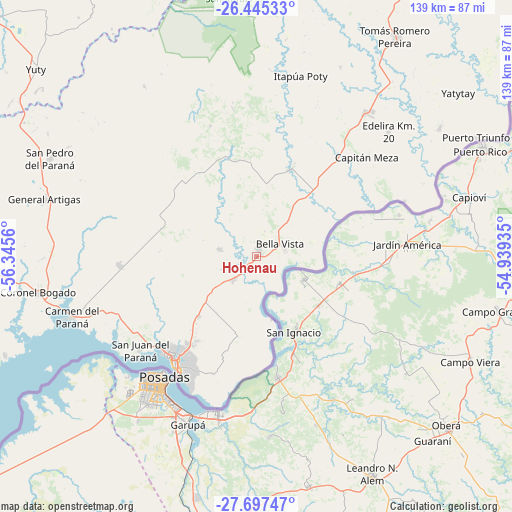
Hohenau GPS coordinates[2]
27° 4' 23.34" South, 55° 38' 32.892" West
| Map corner | latitude | longitude |
|---|---|---|
| Upper-left | -26.44533°, | -56.3456° |
| Center: | -27.07315°, | -55.64247° |
| Lower-right: | -27.69747°, | -54.93935° |
| Map W x H: | 139.2×139.2 km | = 86.5×86.5mi |
| max Lat: | -19.91667° ⇑91.4% North |
| Hohenau: | -27.07315° |
| min Lat: | ⇓8.6% South -27.38662° |
| min Long | Hohenau | max Long |
| -60.78333° | -55.64247° | -54.30694° |
| W 82.1%⇐ | ⇒17.9% E |
Elevation
Elevation of Hohenau is 202 m = 663 ft, and this is 32.3 m = 106 ft above average elevation for this country.
| Max E: |
658 m = 2159 ft | 25.9% |
| Hohenau | 202 m 663 ft | |
| Avg. | 169.7 m = 557 ft | |
Min E: |
46 m = 151 ft | 74.1% |
See also: Paraguay elevation on elevation.city.
Geographical zone
Hohenau is located in South temperate zone (between Tropic of Capricorn and the Antarctic Circle). Distance of this Southern Tropic circle is 404.3 km =251.2 mi to North.| Distance of | km | miles | from Hohenau |
|---|---|---|---|
| Equator | 3010.3 | 1870.5 | to North |
| Tropic Capricorn | 404.3 | 251.2 | to North |
| Antarctic Circle | 4390.9 | 2728.4 | to South |
| South Pole | 6996.8 | 4347.6 | to South |


Nearby cities:
15 places around Hohenau: (largest is in red/bold)
• Alto Verá
54.5 km =33.9 mi,  0°
0°
• Bella Vista
9.5 km =5.9 mi,  74°
74°
• Cambyretá
33.9 km =21.1 mi,  200°
200°
• Capitán Meza
9.8 km =6.1 mi,  50°
50°
• Capitán Miranda
21 km =13 mi,  227°
227°
• Carmen del Paraná
53.1 km =33 mi,  251°
251°
• Edelira
49.6 km =30.8 mi, 46°
• Encarnación
36.2 km =22.5 mi,  217°
217°
• Fram
25.9 km =16.1 mi,  292°
292°
• Itapuá Poty
55.1 km =34.2 mi,  6°
6°
• Jesús
10 km =6.2 mi,  281°
281°
• Obligado
4.5 km =2.8 mi, 11°
• Pirapó
25.6 km =15.9 mi,  22°
22°
• San Juan del Paraná
40.8 km =25.4 mi, 231°
• Trinidad
14.8 km =9.2 mi, 250°
Sources, notices
• [Note1] Compared only with cities in Paraguay existing in our database
• [Src1] Map data: © OpenStreetMap contributors (CC-BY-SA)
• [Src2] Other city data from geonames.org with taken over terms of usage.
• [Src3] Geographical zone / Annual Mean Temperature by Robert A. Rohde @ Wikipedia
