Itapuá Poty geodata
Itapuá Poty (Itapúa) is a populated locality; located in Paraguay in America/Asuncion (GMT-4) time zone. With population of 646 people, there are 156 cities with bigger population in this country. Compared to other cities in Paraguay, 80.2% of cities are located further ↑North; 84% of cities are located further ←West and 92% of cities have lower elevation than Itapuá Poty. Note1


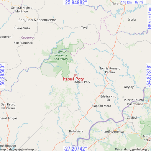
Itapuá Poty GPS coordinates[2]
26° 34' 49.26" South, 55° 34' 54.84" West
| Map corner | latitude | longitude |
|---|---|---|
| Upper-left | -25.94982°, | -56.28503° |
| Center: | -26.58035°, | -55.5819° |
| Lower-right: | -27.20742°, | -54.87878° |
| Map W x H: | 139.8×139.8 km | = 86.9×86.9mi |
| max Lat: | -19.91667° ⇑80.2% North |
| Itapuá Poty: | -26.58035° |
| min Lat: | ⇓19.8% South -27.38662° |
| min Long | Itapuá Poty | max Long |
| -60.78333° | -55.5819° | -54.30694° |
| W 84%⇐ | ⇒16% E |
Elevation
Elevation of Itapuá Poty is 313 m = 1027 ft, and this is 143.3 m = 470 ft above average elevation for this country.
| Max E: |
658 m = 2159 ft | 8% |
| Itapuá Poty | 313 m 1027 ft | |
| Avg. | 169.7 m = 557 ft | |
Min E: |
46 m = 151 ft | 92% |
See also: Paraguay elevation on elevation.city.
Geographical zone
Itapuá Poty is located in South temperate zone (between Tropic of Capricorn and the Antarctic Circle). Distance of this Southern Tropic circle is 349.5 km =217.2 mi to North.| Distance of | km | miles | from Itapuá Poty |
|---|---|---|---|
| Equator | 2955.5 | 1836.5 | to North |
| Tropic Capricorn | 349.5 | 217.2 | to North |
| Antarctic Circle | 4445.7 | 2762.4 | to South |
| South Pole | 7051.6 | 4381.7 | to South |


Nearby cities:
15 places around Itapuá Poty: (largest is in red/bold)
• Alto Verá
5.1 km =3.2 mi,  266°
266°
• Arquitecto Tomás Romero Pereira
34.7 km =21.6 mi,  71°
71°
• Bella Vista
52.3 km =32.5 mi,  176°
176°
• Buena Vista
66.5 km =41.3 mi,  311°
311°
• Capitán Meza
48.5 km =30.1 mi, 178°
• Edelira
36.6 km =22.7 mi,  124°
124°
• Fram
53.9 km =33.5 mi,  213°
213°
• Hohenau
55.1 km =34.2 mi,  186°
186°
• Jesús
55.2 km =34.3 mi,  196°
196°
• Natalio
48.3 km =30 mi,  113°
113°
• Obligado
50.6 km =31.4 mi, 185°
• Pirapó
31.3 km =19.4 mi,  173°
173°
• San Juan Nepomuceno
63 km =39.1 mi,  325°
325°
• Trinidad
62.9 km =39.1 mi, 198°
• Yuty
66.1 km =41.1 mi, 266°
Sources, notices
• [Note1] Compared only with cities in Paraguay existing in our database
• [Src1] Map data: © OpenStreetMap contributors (CC-BY-SA)
• [Src2] Other city data from geonames.org with taken over terms of usage.
• [Src3] Geographical zone / Annual Mean Temperature by Robert A. Rohde @ Wikipedia
