Târgu Frumos geodata
Târgu Frumos (Iaşi) is a seat of a second-order administrative division; located in Romania in Europe/Bucharest (GMT+2) time zone. With population of 13,797 people, there are 140 cities with bigger population in this country. Compared to other cities in Romania, 83.9% of cities are located further ↓South; 83% of cities are located further ←West and 77% of cities have higher elevation than Târgu Frumos. Note1


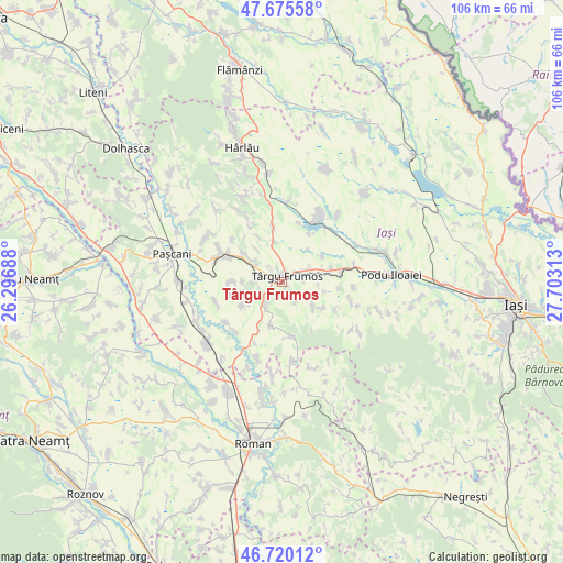
Târgu Frumos GPS coordinates[2]
47° 12' 0" North, 27° 0' 0" East
| Map corner | latitude | longitude |
|---|---|---|
| Upper-left | 47.67558°, | 26.29688° |
| Center: | 47.2°, | 27° |
| Lower-right: | 46.72012°, | 27.70313° |
| Map W x H: | 106.2×106.2 km | = 66×66mi |
| max Lat: | 48.23793° ⇑16.1% North |
| Târgu Frumos: | 47.2° |
| min Lat: | ⇓83.9% South 43.65638° |
| min Long | Târgu Frumos | max Long |
| 20.31667° | 27° | 29.65403° |
| W 83%⇐ | ⇒17% E |
Elevation
Elevation of Târgu Frumos is 104 m = 341 ft, and this is 150.9 m = 495 ft below average elevation for this country.
| Max E: |
1278 m = 4193 ft | 77% |
| Avg. | 254.9 m = 836 ft | |
| Târgu Frumos | 104 m = 341 ft | |
Min E: |
-2 m = -7 ft | 23% |
See also: Romania elevation on elevation.city.
Geographical zone
Târgu Frumos is located in North temperate zone (between Tropic of Cancer and the Arctic Circle). Distance of this North polar circle is 2153 km =1337.8 mi to North.| Distance of | km | miles | from Târgu Frumos |
|---|---|---|---|
| North Pole | 4758.9 | 2957 | to North |
| Arctic Circle | 2153 | 1337.8 | to North |
| Tropic Cancer | 2642.2 | 1641.8 | to South |
| Equator | 5248.1 | 3261 | to South |


Nearby cities:
15 places around Târgu Frumos: (largest is in red/bold)
• Boureni
7.4 km =4.6 mi,  346°
346°
• Brăeşti
9.4 km =5.8 mi,  126°
126°
• Brătulești
8.6 km =5.3 mi,  195°
195°
• Buznea
1.3 km =0.8 mi,  114°
114°
• Costești
6.8 km =4.2 mi,  304°
304°
• Cristești
7.5 km =4.7 mi,  124°
124°
• Fărcășeni
9 km =5.6 mi,  240°
240°
• Giurgești
8.9 km =5.5 mi,  309°
309°
• Gănești
4.4 km =2.7 mi,  146°
146°
• Heleșteni
9.3 km =5.8 mi,  272°
272°
• Ion Neculce
4 km =2.5 mi,  84°
84°
• Prigoreni
5.2 km =3.2 mi, 80°
• Războieni
4.3 km =2.7 mi,  62°
62°
• Strunga
3.9 km =2.4 mi, 198°
• Valea Oilor
9.1 km =5.7 mi, 57°
Sources, notices
• [Note1] Compared only with cities in Romania existing in our database
• [Src1] Map data: © OpenStreetMap contributors (CC-BY-SA)
• [Src2] Other city data from geonames.org with taken over terms of usage.
• [Src3] Geographical zone / Annual Mean Temperature by Robert A. Rohde @ Wikipedia
