Tarnița geodata
Tarnița (Bacău) is a populated place; located in Romania in Europe/Bucharest (GMT+3) time zone. With population of 590 people, there are 6285 cities with bigger population in this country. Compared to other cities in Romania, 67.6% of cities are located further ↓South; 87.7% of cities are located further ←West and 57.8% of cities have lower elevation than Tarnița. Note1


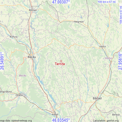
Tarnița GPS coordinates[2]
46° 31' 17.076" North, 27° 15' 10.908" East
| Map corner | latitude | longitude |
|---|---|---|
| Upper-left | 47.00307°, | 26.54991° |
| Center: | 46.52141°, | 27.25303° |
| Lower-right: | 46.03545°, | 27.95616° |
| Map W x H: | 107.6×107.6 km | = 66.9×66.9mi |
| max Lat: | 48.23793° ⇑32.4% North |
| Tarnița: | 46.52141° |
| min Lat: | ⇓67.6% South 43.65638° |
| min Long | Tarnița | max Long |
| 20.31667° | 27.25303° | 29.65403° |
| W 87.7%⇐ | ⇒12.3% E |
Elevation
Elevation of Tarnița is 252 m = 827 ft, and this is 2.9 m = 10 ft below average elevation for this country.
| Max E: |
1278 m = 4193 ft | 42.2% |
| Avg. | 254.9 m = 836 ft | |
| Tarnița | 252 m = 827 ft | |
Min E: |
-2 m = -7 ft | 57.8% |
See also: Romania elevation on elevation.city.
Geographical zone
Tarnița is located in North temperate zone (between Tropic of Cancer and the Arctic Circle). Distance of this North polar circle is 2228.5 km =1384.7 mi to North.| Distance of | km | miles | from Tarnița |
|---|---|---|---|
| North Pole | 4834.4 | 3004 | to North |
| Arctic Circle | 2228.5 | 1384.7 | to North |
| Tropic Cancer | 2566.8 | 1594.9 | to South |
| Equator | 5172.7 | 3214.2 | to South |


Nearby cities:
15 places around Tarnița: (largest is in red/bold)
• Avrămești
9.1 km =5.7 mi,  68°
68°
• Barcana
9.1 km =5.7 mi,  113°
113°
• Coloneşti
6.2 km =3.9 mi,  35°
35°
• Filipeni
5.5 km =3.4 mi,  283°
283°
• Izvoru Berheciului
7.4 km =4.6 mi,  338°
338°
• Nănești
13 km =8.1 mi,  235°
235°
• Onceşti
6.1 km =3.8 mi,  182°
182°
• Parincea
12.5 km =7.8 mi,  250°
250°
• Răchitoasa
13.1 km =8.1 mi,  138°
138°
• Rădeni
12.1 km =7.5 mi,  50°
50°
• Slobozia
6.8 km =4.2 mi, 139°
• Slobozia Nouă
4 km =2.5 mi,  59°
59°
• Stănişeşti
10.4 km =6.5 mi,  159°
159°
• Ungureni
10.8 km =6.7 mi,  270°
270°
• Vladnic
12.2 km =7.6 mi,  226°
226°
Sources, notices
• [Note1] Compared only with cities in Romania existing in our database
• [Src1] Map data: © OpenStreetMap contributors (CC-BY-SA)
• [Src2] Other city data from geonames.org with taken over terms of usage.
• [Src3] Geographical zone / Annual Mean Temperature by Robert A. Rohde @ Wikipedia
