Suseni geodata
Suseni (Mureş) is a seat of a second-order administrative division; located in Romania in Europe/Bucharest (GMT+3) time zone. With population of 2,282 people, there are 2339 cities with bigger population in this country. Compared to other cities in Romania, 74.4% of cities are located further ↓South; 56.7% of cities are located further →East and 78.1% of cities have lower elevation than Suseni. Note1


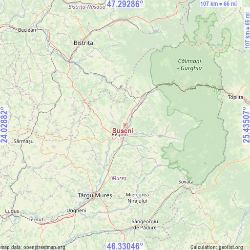
Suseni GPS coordinates[2]
46° 48' 49.716" North, 24° 43' 54.984" East
| Map corner | latitude | longitude |
|---|---|---|
| Upper-left | 47.29286°, | 24.02882° |
| Center: | 46.81381°, | 24.73194° |
| Lower-right: | 46.33046°, | 25.43507° |
| Map W x H: | 107×107 km | = 66.5×66.5mi |
| max Lat: | 48.23793° ⇑25.6% North |
| Suseni: | 46.81381° |
| min Lat: | ⇓74.4% South 43.65638° |
| min Long | Suseni | max Long |
| 20.31667° | 24.73194° | 29.65403° |
| W 43.3%⇐ | ⇒56.7% E |
Elevation
Elevation of Suseni is 377 m = 1237 ft, and this is 122.1 m = 401 ft above average elevation for this country.
| Max E: |
1278 m = 4193 ft | 21.9% |
| Suseni | 377 m 1237 ft | |
| Avg. | 254.9 m = 836 ft | |
Min E: |
-2 m = -7 ft | 78.1% |
See also: Romania elevation on elevation.city.
Geographical zone
Suseni is located in North temperate zone (between Tropic of Cancer and the Arctic Circle). Distance of this North polar circle is 2196 km =1364.5 mi to North.| Distance of | km | miles | from Suseni |
|---|---|---|---|
| North Pole | 4801.9 | 2983.8 | to North |
| Arctic Circle | 2196 | 1364.5 | to North |
| Tropic Cancer | 2599.3 | 1615.1 | to South |
| Equator | 5205.2 | 3234.4 | to South |


Nearby cities:
15 places around Suseni: (largest is in red/bold)
• Apalina
7.4 km =4.6 mi,  202°
202°
• Batoş
9.2 km =5.7 mi,  327°
327°
• Breaza
9.2 km =5.7 mi,  235°
235°
• Brâncoveneşti
5.2 km =3.2 mi,  23°
23°
• Dedrad
5.8 km =3.6 mi,  283°
283°
• Goreni
7.4 km =4.6 mi,  308°
308°
• Ideciu de Jos
2.1 km =1.3 mi,  138°
138°
• Iernuțeni
5.6 km =3.5 mi,  189°
189°
• Jabenița
5.9 km =3.7 mi,  123°
123°
• Luieriu
4.2 km =2.6 mi,  343°
343°
• Lunca Mureșului
8.1 km =5 mi,  33°
33°
• Petelea
9.6 km =6 mi, 191°
• Reghin
5 km =3.1 mi,  207°
207°
• Reghin-Sat
3.6 km =2.2 mi, 198°
• Solovăstru
5.9 km =3.7 mi,  153°
153°
Sources, notices
• [Note1] Compared only with cities in Romania existing in our database
• [Src1] Map data: © OpenStreetMap contributors (CC-BY-SA)
• [Src2] Other city data from geonames.org with taken over terms of usage.
• [Src3] Geographical zone / Annual Mean Temperature by Robert A. Rohde @ Wikipedia
