Ploștina geodata
Ploștina (Gorj) is a section of populated place; located in Romania in Europe/Bucharest (GMT+3) time zone. With population of 1,166 people, there are 3808 cities with bigger population in this country. Compared to other cities in Romania, 75.8% of cities are located further ↑North; 84.5% of cities are located further →East and 51.2% of cities have higher elevation than Ploștina. Note1


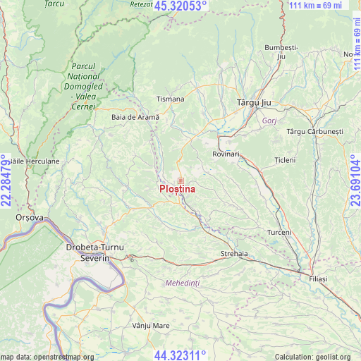
Ploștina GPS coordinates[2]
44° 49' 26.328" North, 22° 59' 16.476" East
| Map corner | latitude | longitude |
|---|---|---|
| Upper-left | 45.32053°, | 22.28479° |
| Center: | 44.82398°, | 22.98791° |
| Lower-right: | 44.32311°, | 23.69104° |
| Map W x H: | 110.9×110.9 km | = 68.9×68.9mi |
| max Lat: | 48.23793° ⇑75.8% North |
| Ploștina: | 44.82398° |
| min Lat: | ⇓24.2% South 43.65638° |
| min Long | Ploștina | max Long |
| 20.31667° | 22.98791° | 29.65403° |
| W 15.5%⇐ | ⇒84.5% E |
Elevation
Elevation of Ploștina is 205 m = 673 ft, and this is 49.9 m = 164 ft below average elevation for this country.
| Max E: |
1278 m = 4193 ft | 51.2% |
| Avg. | 254.9 m = 836 ft | |
| Ploștina | 205 m = 673 ft | |
Min E: |
-2 m = -7 ft | 48.8% |
See also: Romania elevation on elevation.city.
Geographical zone
Ploștina is located in North temperate zone (between Tropic of Cancer and the Arctic Circle). Distance of this Northern Tropic circle is 2378 km =1477.6 mi to South.| Distance of | km | miles | from Ploștina |
|---|---|---|---|
| North Pole | 5023.1 | 3121.2 | to North |
| Arctic Circle | 2417.2 | 1502 | to North |
| Tropic Cancer | 2378 | 1477.6 | to South |
| Equator | 4984 | 3096.9 | to South |


Nearby cities:
15 places around Ploștina: (largest is in red/bold)
• Broşteni
7.1 km =4.4 mi,  185°
185°
• Brădet
8.2 km =5.1 mi,  54°
54°
• Croici
8.7 km =5.4 mi,  84°
84°
• Cătunele
7.8 km =4.8 mi,  305°
305°
• Floreşti
7.5 km =4.7 mi,  205°
205°
• Gârdoaia
8.2 km =5.1 mi,  217°
217°
• Horăști
4.7 km =2.9 mi,  154°
154°
• Lupoaia
2.4 km =1.5 mi,  243°
243°
• Meriș
4.6 km =2.9 mi, 189°
• Miculești
4.5 km =2.8 mi,  89°
89°
• Motru
2.6 km =1.6 mi, 208°
• Mătăsari
8.1 km =5 mi,  68°
68°
• Roșiuța
3.8 km =2.4 mi,  351°
351°
• Runcurel
4.6 km =2.9 mi,  32°
32°
• Zegujani
6 km =3.7 mi,  253°
253°
Sources, notices
• [Note1] Compared only with cities in Romania existing in our database
• [Src1] Map data: © OpenStreetMap contributors (CC-BY-SA)
• [Src2] Other city data from geonames.org with taken over terms of usage.
• [Src3] Geographical zone / Annual Mean Temperature by Robert A. Rohde @ Wikipedia
