Ostra geodata
Ostra (Suceava) is a seat of a second-order administrative division; located in Romania in Europe/Bucharest (GMT+3) time zone. With population of 3,145 people, there are 1659 cities with bigger population in this country. Compared to other cities in Romania, 88.8% of cities are located further ↓South; 58.4% of cities are located further ←West and 97.9% of cities have lower elevation than Ostra. Note1


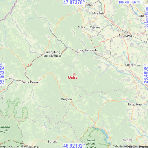
Ostra GPS coordinates[2]
47° 24' 0" North, 25° 46' 0.012" East
| Map corner | latitude | longitude |
|---|---|---|
| Upper-left | 47.87378°, | 25.06355° |
| Center: | 47.4°, | 25.76667° |
| Lower-right: | 46.92192°, | 26.4698° |
| Map W x H: | 105.8×105.8 km | = 65.7×65.7mi |
| max Lat: | 48.23793° ⇑11.2% North |
| Ostra: | 47.4° |
| min Lat: | ⇓88.8% South 43.65638° |
| min Long | Ostra | max Long |
| 20.31667° | 25.76667° | 29.65403° |
| W 58.4%⇐ | ⇒41.6% E |
Elevation
Elevation of Ostra is 765 m = 2510 ft, and this is 510.1 m = 1674 ft above average elevation for this country.
| Max E: |
1278 m = 4193 ft | 2.1% |
| Ostra | 765 m 2510 ft | |
| Avg. | 254.9 m = 836 ft | |
Min E: |
-2 m = -7 ft | 97.9% |
See also: Romania elevation on elevation.city.
Geographical zone
Ostra is located in North temperate zone (between Tropic of Cancer and the Arctic Circle). Distance of this North polar circle is 2130.8 km =1324 mi to North.| Distance of | km | miles | from Ostra |
|---|---|---|---|
| North Pole | 4736.7 | 2943.2 | to North |
| Arctic Circle | 2130.8 | 1324 | to North |
| Tropic Cancer | 2664.5 | 1655.6 | to South |
| Equator | 5270.4 | 3274.9 | to South |


Nearby cities:
15 places around Ostra: (largest is in red/bold)
• Bucșoaia
15.9 km =9.9 mi,  12°
12°
• Crucea
12.6 km =7.8 mi,  243°
243°
• Doroteia
11.4 km =7.1 mi, 11°
• Frasin
15 km =9.3 mi, 9°
• Gemenea
7.5 km =4.7 mi,  327°
327°
• Găinești
11.6 km =7.2 mi,  79°
79°
• Holda
16.7 km =10.4 mi,  203°
203°
• Holdița
16.9 km =10.5 mi, 197°
• Molid
18.8 km =11.7 mi,  352°
352°
• Negrileasa
4.5 km =2.8 mi,  54°
54°
• Plutonița
9.2 km =5.7 mi, 11°
• Prisaca Dornei
17.8 km =11.1 mi, 332°
• Slătioara
10.4 km =6.5 mi,  310°
310°
• Stulpicani
7.4 km =4.6 mi,  0°
0°
• Vadu Negrilesei
5.8 km =3.6 mi,  106°
106°
Sources, notices
• [Note1] Compared only with cities in Romania existing in our database
• [Src1] Map data: © OpenStreetMap contributors (CC-BY-SA)
• [Src2] Other city data from geonames.org with taken over terms of usage.
• [Src3] Geographical zone / Annual Mean Temperature by Robert A. Rohde @ Wikipedia
