Orăştioara de Sus geodata
Orăştioara de Sus (Hunedoara) is a seat of a second-order administrative division; located in Romania in Europe/Bucharest (GMT+3) time zone. With population of 2,428 people, there are 2218 cities with bigger population in this country. Compared to other cities in Romania, 51.3% of cities are located further ↑North; 82.1% of cities are located further →East and 74% of cities have lower elevation than Orăştioara de Sus. Note1


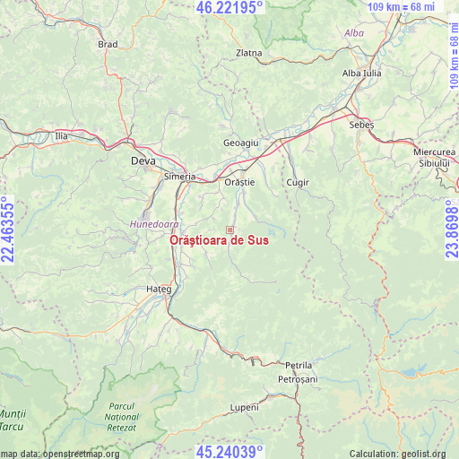
Orăştioara de Sus GPS coordinates[2]
45° 43' 59.988" North, 23° 10' 0.012" East
| Map corner | latitude | longitude |
|---|---|---|
| Upper-left | 46.22195°, | 22.46355° |
| Center: | 45.73333°, | 23.16667° |
| Lower-right: | 45.24039°, | 23.8698° |
| Map W x H: | 109.1×109.1 km | = 67.8×67.8mi |
| max Lat: | 48.23793° ⇑51.3% North |
| Orăştioara de Sus: | 45.73333° |
| min Lat: | ⇓48.7% South 43.65638° |
| min Long | Orăştioara de | max Long |
| 20.31667° | 23.16667° | 29.65403° |
| W 17.9%⇐ | ⇒82.1% E |
Elevation
Elevation of Orăştioara de Sus is 346 m = 1135 ft, and this is 91.1 m = 299 ft above average elevation for this country.
| Max E: |
1278 m = 4193 ft | 26% |
| Orăştioara de Sus | 346 m 1135 ft | |
| Avg. | 254.9 m = 836 ft | |
Min E: |
-2 m = -7 ft | 74% |
See also: Romania elevation on elevation.city.
Geographical zone
Orăştioara de Sus is located in North temperate zone (between Tropic of Cancer and the Arctic Circle). Distance of this North polar circle is 2316.1 km =1439.2 mi to North.| Distance of | km | miles | from Orăştioara de Sus |
|---|---|---|---|
| North Pole | 4922 | 3058.4 | to North |
| Arctic Circle | 2316.1 | 1439.2 | to North |
| Tropic Cancer | 2479.2 | 1540.5 | to South |
| Equator | 5085.1 | 3159.7 | to South |


Nearby cities:
15 places around Orăştioara de Sus: (largest is in red/bold)
• Batiz
13.7 km =8.5 mi,  291°
291°
• Beriu
5.7 km =3.5 mi,  13°
13°
• Boşorod
8.5 km =5.3 mi,  229°
229°
• Băcia
13.8 km =8.6 mi,  302°
302°
• Chitid
8.3 km =5.2 mi,  248°
248°
• Costești
3.5 km =2.2 mi,  181°
181°
• Căstău
9.7 km =6 mi,  21°
21°
• Mărtineşti
9.6 km =6 mi,  344°
344°
• Orăştie
11.4 km =7.1 mi, 13°
• Petreni
12.7 km =7.9 mi, 301°
• Pricaz
14 km =8.7 mi,  1°
1°
• Romoșel
13.9 km =8.6 mi,  54°
54°
• Sibișel
6.7 km =4.2 mi,  74°
74°
• Streisângeorgiu
11.2 km =7 mi,  266°
266°
• Turdaş
13.5 km =8.4 mi, 343°
Sources, notices
• [Note1] Compared only with cities in Romania existing in our database
• [Src1] Map data: © OpenStreetMap contributors (CC-BY-SA)
• [Src2] Other city data from geonames.org with taken over terms of usage.
• [Src3] Geographical zone / Annual Mean Temperature by Robert A. Rohde @ Wikipedia
