Livezile geodata
Livezile (Timiş) is a seat of a second-order administrative division; located in Romania in Europe/Bucharest (GMT+3) time zone. With population of 1,128 people, there are 3912 cities with bigger population in this country. Compared to other cities in Romania, 57.1% of cities are located further ↑North; 99.1% of cities are located further →East and 85.4% of cities have higher elevation than Livezile. Note1


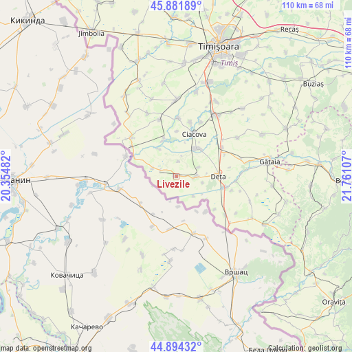
Livezile GPS coordinates[2]
45° 23' 24.936" North, 21° 3' 28.584" East
| Map corner | latitude | longitude |
|---|---|---|
| Upper-left | 45.88189°, | 20.35482° |
| Center: | 45.39026°, | 21.05794° |
| Lower-right: | 44.89432°, | 21.76107° |
| Map W x H: | 109.8×109.8 km | = 68.2×68.2mi |
| max Lat: | 48.23793° ⇑57.1% North |
| Livezile: | 45.39026° |
| min Lat: | ⇓42.9% South 43.65638° |
| min Long | Livezile | max Long |
| 20.31667° | 21.05794° | 29.65403° |
| W 0.9%⇐ | ⇒99.1% E |
Elevation
Elevation of Livezile is 77 m = 253 ft, and this is 177.9 m = 584 ft below average elevation for this country.
| Max E: |
1278 m = 4193 ft | 85.4% |
| Avg. | 254.9 m = 836 ft | |
| Livezile | 77 m = 253 ft | |
Min E: |
-2 m = -7 ft | 14.6% |
See also: Romania elevation on elevation.city.
Geographical zone
Livezile is located in North temperate zone (between Tropic of Cancer and the Arctic Circle). Distance of this North polar circle is 2354.3 km =1462.9 mi to North.| Distance of | km | miles | from Livezile |
|---|---|---|---|
| North Pole | 4960.1 | 3082.1 | to North |
| Arctic Circle | 2354.3 | 1462.9 | to North |
| Tropic Cancer | 2441 | 1516.8 | to South |
| Equator | 5046.9 | 3136 | to South |


Nearby cities:
15 places around Livezile: (largest is in red/bold)
• Banloc
6.1 km =3.8 mi,  92°
92°
• Breștea
17.6 km =10.9 mi,  103°
103°
• Cebza
18 km =11.2 mi,  2°
2°
• Ciacova
14.2 km =8.8 mi,  22°
22°
• Crai Nou
11.8 km =7.3 mi,  337°
337°
• Denta
15.5 km =9.6 mi,  105°
105°
• Deta
13 km =8.1 mi, 90°
• Dolaț
4.4 km =2.7 mi,  7°
7°
• Ghilad
10.4 km =6.5 mi,  37°
37°
• Giera
5.5 km =3.4 mi,  290°
290°
• Opatița
16.7 km =10.4 mi,  80°
80°
• Petroman
17.4 km =10.8 mi, 14°
• Rudna
12.6 km =7.8 mi, 342°
• Soca
8.6 km =5.3 mi, 104°
• Voiteg
16.6 km =10.3 mi,  58°
58°
Sources, notices
• [Note1] Compared only with cities in Romania existing in our database
• [Src1] Map data: © OpenStreetMap contributors (CC-BY-SA)
• [Src2] Other city data from geonames.org with taken over terms of usage.
• [Src3] Geographical zone / Annual Mean Temperature by Robert A. Rohde @ Wikipedia
