Izvoarele Sucevei geodata
Izvoarele Sucevei (Suceava) is a seat of a second-order administrative division; located in Romania in Europe/Bucharest (GMT+3) time zone. With population of 2,262 people, there are 2361 cities with bigger population in this country. Compared to other cities in Romania, 95.6% of cities are located further ↓South; 50.3% of cities are located further →East and 99.6% of cities have lower elevation than Izvoarele Sucevei. Note1


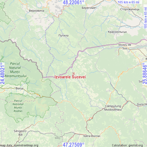
Izvoarele Sucevei GPS coordinates[2]
47° 45' 0" North, 25° 10' 59.988" East
| Map corner | latitude | longitude |
|---|---|---|
| Upper-left | 48.22061°, | 24.48021° |
| Center: | 47.75°, | 25.18333° |
| Lower-right: | 47.27509°, | 25.88646° |
| Map W x H: | 105.1×105.1 km | = 65.3×65.3mi |
| max Lat: | 48.23793° ⇑4.4% North |
| Izvoarele Sucevei: | 47.75° |
| min Lat: | ⇓95.6% South 43.65638° |
| min Long | Izvoarele Sucev | max Long |
| 20.31667° | 25.18333° | 29.65403° |
| W 49.7%⇐ | ⇒50.3% E |
Elevation
Elevation of Izvoarele Sucevei is 956 m = 3136 ft, and this is 701.1 m = 2300 ft above average elevation for this country.
| Max E: |
1278 m = 4193 ft | 0.40000000000001% |
| Izvoarele Sucevei | 956 m 3136 ft | |
| Avg. | 254.9 m = 836 ft | |
Min E: |
-2 m = -7 ft | 99.6% |
See also: Romania elevation on elevation.city.
Geographical zone
Izvoarele Sucevei is located in North temperate zone (between Tropic of Cancer and the Arctic Circle). Distance of this North polar circle is 2091.9 km =1299.8 mi to North.| Distance of | km | miles | from Izvoarele Sucevei |
|---|---|---|---|
| North Pole | 4697.8 | 2919.1 | to North |
| Arctic Circle | 2091.9 | 1299.8 | to North |
| Tropic Cancer | 2703.4 | 1679.8 | to South |
| Equator | 5309.3 | 3299 | to South |


Nearby cities:
15 places around Izvoarele Sucevei: (largest is in red/bold)
• Argel
21.5 km =13.4 mi,  86°
86°
• Benia
11.4 km =7.1 mi,  146°
146°
• Bobeica
4.5 km =2.8 mi,  234°
234°
• Botuș
24.2 km =15 mi, 150°
• Breaza
18.1 km =11.2 mi, 146°
• Brodina
7.5 km =4.7 mi,  62°
62°
• Brodina
22.9 km =14.2 mi,  49°
49°
• Colacu
27.5 km =17.1 mi, 149°
• Cârlibaba
18.9 km =11.7 mi,  191°
191°
• Demacușa
24.8 km =15.4 mi,  103°
103°
• Lupcina
10.5 km =6.5 mi,  28°
28°
• Moldova Suliţa
8.9 km =5.5 mi, 146°
• Moldoviţa
27.2 km =16.9 mi,  105°
105°
• Rașca
24.6 km =15.3 mi, 90°
• Ulma
17.2 km =10.7 mi, 30°
Sources, notices
• [Note1] Compared only with cities in Romania existing in our database
• [Src1] Map data: © OpenStreetMap contributors (CC-BY-SA)
• [Src2] Other city data from geonames.org with taken over terms of usage.
• [Src3] Geographical zone / Annual Mean Temperature by Robert A. Rohde @ Wikipedia
