Ilovăț geodata
Ilovăț (Mehedinţi) is a seat of a second-order administrative division; located in Romania in Europe/Bucharest (GMT+3) time zone. With population of 793 people, there are 5086 cities with bigger population in this country. Compared to other cities in Romania, 76.3% of cities are located further ↑North; 87.6% of cities are located further →East and 57.4% of cities have lower elevation than Ilovăț. Note1


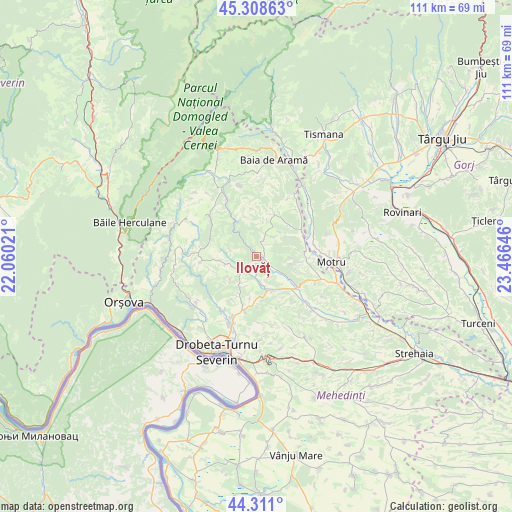
Ilovăț GPS coordinates[2]
44° 48' 43.092" North, 22° 45' 47.988" East
| Map corner | latitude | longitude |
|---|---|---|
| Upper-left | 45.30863°, | 22.06021° |
| Center: | 44.81197°, | 22.76333° |
| Lower-right: | 44.311°, | 23.46646° |
| Map W x H: | 110.9×110.9 km | = 68.9×68.9mi |
| max Lat: | 48.23793° ⇑76.3% North |
| Ilovăț: | 44.81197° |
| min Lat: | ⇓23.7% South 43.65638° |
| min Long | Ilovăț | max Long |
| 20.31667° | 22.76333° | 29.65403° |
| W 12.4%⇐ | ⇒87.6% E |
Elevation
Elevation of Ilovăț is 250 m = 820 ft, and this is 4.9 m = 16 ft below average elevation for this country.
| Max E: |
1278 m = 4193 ft | 42.6% |
| Avg. | 254.9 m = 836 ft | |
| Ilovăț | 250 m = 820 ft | |
Min E: |
-2 m = -7 ft | 57.4% |
See also: Romania elevation on elevation.city.
Geographical zone
Ilovăț is located in North temperate zone (between Tropic of Cancer and the Arctic Circle). Distance of this Northern Tropic circle is 2376.7 km =1476.8 mi to South.| Distance of | km | miles | from Ilovăț |
|---|---|---|---|
| North Pole | 5024.4 | 3122 | to North |
| Arctic Circle | 2418.6 | 1502.8 | to North |
| Tropic Cancer | 2376.7 | 1476.8 | to South |
| Equator | 4982.6 | 3096 | to South |


Nearby cities:
15 places around Ilovăț: (largest is in red/bold)
• Bala
9.7 km =6 mi,  34°
34°
• Bala de Sus
10.4 km =6.5 mi,  22°
22°
• Balta
13 km =8.1 mi,  309°
309°
• Bobaița
6.7 km =4.2 mi,  210°
210°
• Bâlvăneşti
6.7 km =4.2 mi,  256°
256°
• Crăguești
5.8 km =3.6 mi,  172°
172°
• Cătunele
12.7 km =7.9 mi,  62°
62°
• Godeanu
12.3 km =7.6 mi, 264°
• Malovăţ
12.2 km =7.6 mi,  192°
192°
• Noapteșa
8.3 km =5.2 mi,  98°
98°
• Pârlagele
7.7 km =4.8 mi,  227°
227°
• Rudina
7.9 km =4.9 mi, 18°
• Zegujani
12 km =7.5 mi,  91°
91°
• Şişeşti
7.1 km =4.4 mi,  122°
122°
• Şovarna
5.2 km =3.2 mi, 26°
Sources, notices
• [Note1] Compared only with cities in Romania existing in our database
• [Src1] Map data: © OpenStreetMap contributors (CC-BY-SA)
• [Src2] Other city data from geonames.org with taken over terms of usage.
• [Src3] Geographical zone / Annual Mean Temperature by Robert A. Rohde @ Wikipedia
