Balta geodata
Balta (Mehedinţi) is a seat of a second-order administrative division; located in Romania in Europe/Bucharest (GMT+3) time zone. With population of 1,391 people, there are 3352 cities with bigger population in this country. Compared to other cities in Romania, 73.5% of cities are located further ↑North; 88.7% of cities are located further →East and 88% of cities have lower elevation than Balta. Note1


Balta GPS coordinates[2]
44° 53' 12.984" North, 22° 38' 12.984" East
| Map corner | latitude | longitude |
|---|---|---|
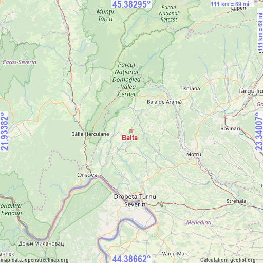
| Upper-left | 45.38295°, | 21.93382° |
| Center: | 44.88694°, | 22.63694° |
| Lower-right: | 44.38662°, | 23.34007° |
| Map W x H: | 110.8×110.8 km | = 68.8×68.8mi |
| max Lat: | 48.23793° ⇑73.5% North |
| Balta: | 44.88694° |
| min Lat: | ⇓26.5% South 43.65638° |
| min Long | Balta | max Long |
| 20.31667° | 22.63694° | 29.65403° |
| W 11.3%⇐ | ⇒88.7% E |
Elevation
Elevation of Balta is 482 m = 1581 ft, and this is 227.1 m = 745 ft above average elevation for this country.
| Max E: |
1278 m = 4193 ft | 12% |
| Balta | 482 m 1581 ft | |
| Avg. | 254.9 m = 836 ft | |
Min E: |
-2 m = -7 ft | 88% |
See also: Romania elevation on elevation.city.
Geographical zone
Balta is located in North temperate zone (between Tropic of Cancer and the Arctic Circle). Distance of this Northern Tropic circle is 2385 km =1482 mi to South.| Distance of | km | miles | from Balta |
|---|---|---|---|
| North Pole | 5016.1 | 3116.9 | to North |
| Arctic Circle | 2410.2 | 1497.6 | to North |
| Tropic Cancer | 2385 | 1482 | to South |
| Equator | 4991 | 3101.3 | to South |


Nearby cities:
15 places around Balta: (largest is in red/bold)
• Bala
15.5 km =9.6 mi,  91°
91°
• Bala de Sus
14 km =8.7 mi,  84°
84°
• Bobaița
15.6 km =9.7 mi,  154°
154°
• Bâlvăneşti
10.5 km =6.5 mi,  161°
161°
• Cireşu
10.5 km =6.5 mi,  227°
227°
• Godeanu
9.8 km =6.1 mi,  193°
193°
• Ilovăț
13 km =8.1 mi,  129°
129°
• Isverna
10.3 km =6.4 mi,  356°
356°
• Obârşia-Cloşani
14.9 km =9.3 mi,  14°
14°
• Podeni
7.4 km =4.6 mi,  265°
265°
• Ponoarele
13.9 km =8.6 mi,  46°
46°
• Pârlagele
14.1 km =8.8 mi, 162°
• Rudina
12.5 km =7.8 mi, 93°
• Seliștea
9.9 km =6.2 mi, 5°
• Şovarna
12.8 km =8 mi,  106°
106°
Sources, notices
• [Note1] Compared only with cities in Romania existing in our database
• [Src1] Map data: © OpenStreetMap contributors (CC-BY-SA)
• [Src2] Other city data from geonames.org with taken over terms of usage.
• [Src3] Geographical zone / Annual Mean Temperature by Robert A. Rohde @ Wikipedia
