Gogoşu geodata
Gogoşu (Mehedinţi) is a seat of a second-order administrative division; located in Romania in Europe/Bucharest (GMT+3) time zone. With population of 5,309 people, there are 691 cities with bigger population in this country. Compared to other cities in Romania, 89% of cities are located further ↑North; 89% of cities are located further →East and 85.7% of cities have higher elevation than Gogoşu. Note1


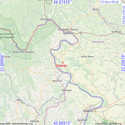
Gogoşu GPS coordinates[2]
44° 22' 26.004" North, 22° 35' 35.016" East
| Map corner | latitude | longitude |
|---|---|---|
| Upper-left | 44.87432°, | 21.88994° |
| Center: | 44.37389°, | 22.59306° |
| Lower-right: | 43.86915°, | 23.29619° |
| Map W x H: | 111.8×111.8 km | = 69.5×69.5mi |
| max Lat: | 48.23793° ⇑89% North |
| Gogoşu: | 44.37389° |
| min Lat: | ⇓11% South 43.65638° |
| min Long | Gogoşu | max Long |
| 20.31667° | 22.59306° | 29.65403° |
| W 11%⇐ | ⇒89% E |
Elevation
Elevation of Gogoşu is 76 m = 249 ft, and this is 178.9 m = 587 ft below average elevation for this country.
| Max E: |
1278 m = 4193 ft | 85.7% |
| Avg. | 254.9 m = 836 ft | |
| Gogoşu | 76 m = 249 ft | |
Min E: |
-2 m = -7 ft | 14.3% |
See also: Romania elevation on elevation.city.
Geographical zone
Gogoşu is located in North temperate zone (between Tropic of Cancer and the Arctic Circle). Distance of this Northern Tropic circle is 2328 km =1446.6 mi to South.| Distance of | km | miles | from Gogoşu |
|---|---|---|---|
| North Pole | 5073.1 | 3152.3 | to North |
| Arctic Circle | 2467.3 | 1533.1 | to North |
| Tropic Cancer | 2328 | 1446.6 | to South |
| Equator | 4933.9 | 3065.8 | to South |


Nearby cities:
15 places around Gogoşu: (largest is in red/bold)
• Balta Verde
3.3 km =2.1 mi,  172°
172°
• Bistrețu
8.5 km =5.3 mi,  13°
13°
• Burila Mare
8.9 km =5.5 mi,  350°
350°
• Burila Mică
5.2 km =3.2 mi, 353°
• Cioroboreni
13.6 km =8.5 mi,  83°
83°
• Devesel
12.1 km =7.5 mi,  29°
29°
• Dănceu
10.2 km =6.3 mi,  96°
96°
• Gruia
14.8 km =9.2 mi,  143°
143°
• Izvoarele
9.1 km =5.7 mi, 141°
• Jiana
10 km =6.2 mi,  71°
71°
• Jiana Mare
8.7 km =5.4 mi,  61°
61°
• Jiana Veche
6.3 km =3.9 mi, 72°
• Ostrovu Mare
6.2 km =3.9 mi,  275°
275°
• Pătulele
14.6 km =9.1 mi, 102°
• Scăpău
14.4 km =8.9 mi,  45°
45°
Sources, notices
• [Note1] Compared only with cities in Romania existing in our database
• [Src1] Map data: © OpenStreetMap contributors (CC-BY-SA)
• [Src2] Other city data from geonames.org with taken over terms of usage.
• [Src3] Geographical zone / Annual Mean Temperature by Robert A. Rohde @ Wikipedia
