Chiajna geodata
Chiajna (Ilfov) is a seat of a second-order administrative division; located in Romania in Europe/Bucharest (GMT+3) time zone. With population of 8,105 people, there are 304 cities with bigger population in this country. Compared to other cities in Romania, 86.3% of cities are located further ↑North; 62.3% of cities are located further ←West and 80.2% of cities have higher elevation than Chiajna. Note1


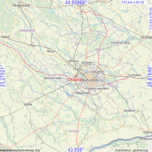
Chiajna GPS coordinates[2]
44° 27' 36" North, 25° 58' 23.988" East
| Map corner | latitude | longitude |
|---|---|---|
| Upper-left | 44.95969°, | 25.27021° |
| Center: | 44.46°, | 25.97333° |
| Lower-right: | 43.956°, | 26.67646° |
| Map W x H: | 111.6×111.6 km | = 69.3×69.3mi |
| max Lat: | 48.23793° ⇑86.3% North |
| Chiajna: | 44.46° |
| min Lat: | ⇓13.7% South 43.65638° |
| min Long | Chiajna | max Long |
| 20.31667° | 25.97333° | 29.65403° |
| W 62.3%⇐ | ⇒37.7% E |
Elevation
Elevation of Chiajna is 94 m = 308 ft, and this is 160.9 m = 528 ft below average elevation for this country.
| Max E: |
1278 m = 4193 ft | 80.2% |
| Avg. | 254.9 m = 836 ft | |
| Chiajna | 94 m = 308 ft | |
Min E: |
-2 m = -7 ft | 19.8% |
See also: Romania elevation on elevation.city.
Geographical zone
Chiajna is located in North temperate zone (between Tropic of Cancer and the Arctic Circle). Distance of this Northern Tropic circle is 2337.6 km =1452.5 mi to South.| Distance of | km | miles | from Chiajna |
|---|---|---|---|
| North Pole | 5063.6 | 3146.4 | to North |
| Arctic Circle | 2457.7 | 1527.1 | to North |
| Tropic Cancer | 2337.6 | 1452.5 | to South |
| Equator | 4943.5 | 3071.7 | to South |


Nearby cities:
15 places around Chiajna: (largest is in red/bold)
• Bâcu
7.1 km =4.4 mi,  290°
290°
• Chitila
5.4 km =3.4 mi,  7°
7°
• Ciorogârla
7.4 km =4.6 mi,  254°
254°
• Domnești
8.1 km =5 mi,  213°
213°
• Dragomireşti-Vale
3.5 km =2.2 mi,  298°
298°
• Dragomirești-Deal
2.3 km =1.4 mi,  276°
276°
• Dudu
1.4 km =0.9 mi,  107°
107°
• Mogoşoaia
8 km =5 mi,  15°
15°
• Olteni
7.7 km =4.8 mi,  193°
193°
• Roșu
3.2 km =2 mi, 109°
• Rudeni
1.4 km =0.9 mi,  359°
359°
• Sector 1
7 km =4.3 mi,  58°
58°
• Sector 6
4.4 km =2.7 mi,  128°
128°
• Săbăreni
8.2 km =5.1 mi, 304°
• Zurbaua
5.7 km =3.5 mi,  305°
305°
Sources, notices
• [Note1] Compared only with cities in Romania existing in our database
• [Src1] Map data: © OpenStreetMap contributors (CC-BY-SA)
• [Src2] Other city data from geonames.org with taken over terms of usage.
• [Src3] Geographical zone / Annual Mean Temperature by Robert A. Rohde @ Wikipedia
