Bârza geodata
Bârza (Olt) is a seat of a second-order administrative division; located in Romania in Europe/Bucharest (GMT+3) time zone. With population of 995 people, there are 4310 cities with bigger population in this country. Compared to other cities in Romania, 90.1% of cities are located further ↑North; 67% of cities are located further →East and 72.3% of cities have higher elevation than Bârza. Note1


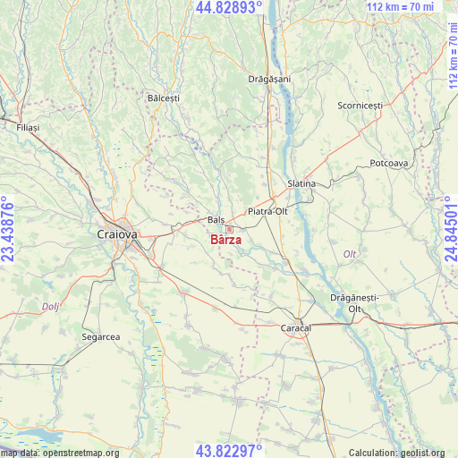
Bârza GPS coordinates[2]
44° 19' 41.196" North, 24° 8' 30.768" East
| Map corner | latitude | longitude |
|---|---|---|
| Upper-left | 44.82893°, | 23.43876° |
| Center: | 44.32811°, | 24.14188° |
| Lower-right: | 43.82297°, | 24.84501° |
| Map W x H: | 111.9×111.9 km | = 69.5×69.5mi |
| max Lat: | 48.23793° ⇑90.1% North |
| Bârza: | 44.32811° |
| min Lat: | ⇓9.9% South 43.65638° |
| min Long | Bârza | max Long |
| 20.31667° | 24.14188° | 29.65403° |
| W 33%⇐ | ⇒67% E |
Elevation
Elevation of Bârza is 119 m = 390 ft, and this is 135.9 m = 446 ft below average elevation for this country.
| Max E: |
1278 m = 4193 ft | 72.3% |
| Avg. | 254.9 m = 836 ft | |
| Bârza | 119 m = 390 ft | |
Min E: |
-2 m = -7 ft | 27.7% |
See also: Romania elevation on elevation.city.
Geographical zone
Bârza is located in North temperate zone (between Tropic of Cancer and the Arctic Circle). Distance of this Northern Tropic circle is 2322.9 km =1443.4 mi to South.| Distance of | km | miles | from Bârza |
|---|---|---|---|
| North Pole | 5078.2 | 3155.4 | to North |
| Arctic Circle | 2472.4 | 1536.3 | to North |
| Tropic Cancer | 2322.9 | 1443.4 | to South |
| Equator | 4928.8 | 3062.6 | to South |


Nearby cities:
15 places around Bârza: (largest is in red/bold)
• Baldovineşti
9.5 km =5.9 mi,  310°
310°
• Balş
4.1 km =2.5 mi, 306°
• Bobiceşti
6.2 km =3.9 mi,  6°
6°
• Braneț
2.9 km =1.8 mi,  95°
95°
• Corbeni
6.2 km =3.9 mi,  335°
335°
• Dobrun
9.1 km =5.7 mi,  138°
138°
• Drăgoteşti
9.3 km =5.8 mi,  200°
200°
• Leotești
4.4 km =2.7 mi, 10°
• Mirila
3.4 km =2.1 mi, 13°
• Mărgăritești
3.4 km =2.1 mi,  171°
171°
• Olari
5.8 km =3.6 mi,  113°
113°
• Pârşcoveni
7.9 km =4.9 mi, 113°
• Racovița
2.2 km =1.4 mi,  230°
230°
• Teiș
2.5 km =1.6 mi, 344°
• Voineasa
5 km =3.1 mi,  187°
187°
Sources, notices
• [Note1] Compared only with cities in Romania existing in our database
• [Src1] Map data: © OpenStreetMap contributors (CC-BY-SA)
• [Src2] Other city data from geonames.org with taken over terms of usage.
• [Src3] Geographical zone / Annual Mean Temperature by Robert A. Rohde @ Wikipedia
