Badovinci geodata
Badovinci (Central Serbia) is a populated place; located in Serbia in Europe/Belgrade (GMT+2) time zone. With population of 5,879 people, there are 79 cities with bigger population in this country. Compared to other cities in Serbia, 54.2% of cities are located further ↑North; 93% of cities are located further →East and 51.5% of cities have lower elevation than Badovinci. Note1


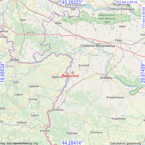
Badovinci GPS coordinates[2]
44° 47' 7.224" North, 19° 22' 17.256" East
| Map corner | latitude | longitude |
|---|---|---|
| Upper-left | 45.28223°, | 18.66834° |
| Center: | 44.78534°, | 19.37146° |
| Lower-right: | 44.28414°, | 20.07459° |
| Map W x H: | 111×111 km | = 69×69mi |
| max Lat: | 46.1° ⇑54.2% North |
| Badovinci: | 44.78534° |
| min Lat: | ⇓45.8% South 42.25846° |
| min Long | Badovinci | max Long |
| 18.9276° | 19.37146° | 22.77556° |
| W 7%⇐ | ⇒93% E |
Elevation
Elevation of Badovinci is 90 m = 295 ft, and this is 86.4 m = 283 ft below average elevation for this country.
| Max E: |
1421 m = 4662 ft | 48.5% |
| Avg. | 176.4 m = 579 ft | |
| Badovinci | 90 m = 295 ft | |
Min E: |
49 m = 161 ft | 51.5% |
See also: Serbia elevation on elevation.city.
Geographical zone
Badovinci is located in North temperate zone (between Tropic of Cancer and the Arctic Circle). Distance of this Northern Tropic circle is 2373.7 km =1474.9 mi to South.| Distance of | km | miles | from Badovinci |
|---|---|---|---|
| North Pole | 5027.4 | 3123.9 | to North |
| Arctic Circle | 2421.5 | 1504.6 | to North |
| Tropic Cancer | 2373.7 | 1474.9 | to South |
| Equator | 4979.7 | 3094.2 | to South |


Nearby cities:
15 places around Badovinci: (largest is in red/bold)
• Banovo Polje
15.2 km =9.4 mi,  23°
23°
• Belotić
14.4 km =8.9 mi,  75°
75°
• Bogatić
10.4 km =6.5 mi,  56°
56°
• Crna Bara
10 km =6.2 mi,  10°
10°
• Dublje
11 km =6.8 mi, 80°
• Glogovac
9.3 km =5.8 mi, 21°
• Klenje
5.6 km =3.5 mi, 63°
• Lipolist
14.1 km =8.8 mi,  133°
133°
• Novo Selo
12.9 km =8 mi,  189°
189°
• Petkovica
14.3 km =8.9 mi,  157°
157°
• Prnjavor
9.5 km =5.9 mi,  172°
172°
• Ribari
9.4 km =5.8 mi,  153°
153°
• Salaš Crnobarski
5.1 km =3.2 mi, 20°
• Zminjak
8.4 km =5.2 mi,  111°
111°
• Čokešina
14.8 km =9.2 mi, 174°
Sources, notices
• [Note1] Compared only with cities in Serbia existing in our database
• [Src1] Map data: © OpenStreetMap contributors (CC-BY-SA)
• [Src2] Other city data from geonames.org with taken over terms of usage.
• [Src3] Geographical zone / Annual Mean Temperature by Robert A. Rohde @ Wikipedia
