Melenci geodata
Melenci (Vojvodina) is a populated place; located in Serbia in Europe/Belgrade (GMT+2) time zone. With population of 7,685 people, there are 64 cities with bigger population in this country. Compared to other cities in Serbia, 85.7% of cities are located further ↓South; 51% of cities are located further →East and 78.9% of cities have higher elevation than Melenci. Note1


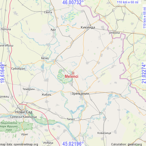
Melenci GPS coordinates[2]
45° 31' 0.48" North, 20° 19' 10.596" East
| Map corner | latitude | longitude |
|---|---|---|
| Upper-left | 46.00732°, | 19.61649° |
| Center: | 45.5168°, | 20.31961° |
| Lower-right: | 45.02196°, | 21.02274° |
| Map W x H: | 109.6×109.6 km | = 68.1×68.1mi |
| max Lat: | 46.1° ⇑14.3% North |
| Melenci: | 45.5168° |
| min Lat: | ⇓85.7% South 42.25846° |
| min Long | Melenci | max Long |
| 18.9276° | 20.31961° | 22.77556° |
| W 49%⇐ | ⇒51% E |
Elevation
Elevation of Melenci is 78 m = 256 ft, and this is 98.4 m = 323 ft below average elevation for this country.
| Max E: |
1421 m = 4662 ft | 78.9% |
| Avg. | 176.4 m = 579 ft | |
| Melenci | 78 m = 256 ft | |
Min E: |
49 m = 161 ft | 21.1% |
See also: Serbia elevation on elevation.city.
Geographical zone
Melenci is located in North temperate zone (between Tropic of Cancer and the Arctic Circle). Distance of this North polar circle is 2340.2 km =1454.1 mi to North.| Distance of | km | miles | from Melenci |
|---|---|---|---|
| North Pole | 4946.1 | 3073.4 | to North |
| Arctic Circle | 2340.2 | 1454.1 | to North |
| Tropic Cancer | 2455.1 | 1525.5 | to South |
| Equator | 5061 | 3144.8 | to South |


Nearby cities:
15 places around Melenci: (largest is in red/bold)
• Aradac
14.9 km =9.3 mi,  185°
185°
• Banatski Dvor
14.9 km =9.3 mi,  89°
89°
• Bašaid
15.7 km =9.8 mi,  28°
28°
• Elemir
8.4 km =5.2 mi, 190°
• Jankov Most
10.4 km =6.5 mi,  116°
116°
• Klek
16.3 km =10.1 mi,  129°
129°
• Kumane
7.5 km =4.7 mi,  289°
289°
• Mihajlovo
9 km =5.6 mi, 124°
• Novi Bečej
17 km =10.6 mi,  302°
302°
• Taraš
10.9 km =6.8 mi,  239°
239°
• Torda
13.2 km =8.2 mi,  55°
55°
• Zrenjanin
15.6 km =9.7 mi,  161°
161°
• Čestereg
17.3 km =10.7 mi,  72°
72°
• Čurug
20.2 km =12.6 mi,  255°
255°
• Žitište
18.3 km =11.4 mi,  101°
101°
Sources, notices
• [Note1] Compared only with cities in Serbia existing in our database
• [Src1] Map data: © OpenStreetMap contributors (CC-BY-SA)
• [Src2] Other city data from geonames.org with taken over terms of usage.
• [Src3] Geographical zone / Annual Mean Temperature by Robert A. Rohde @ Wikipedia
