Mihajlovo geodata
Mihajlovo (Vojvodina) is a populated place; located in Serbia in Europe/Belgrade (GMT+2) time zone. With population of 1,318 people, there are 281 cities with bigger population in this country. Compared to other cities in Serbia, 84.4% of cities are located further ↓South; 52.6% of cities are located further ←West and 84.8% of cities have higher elevation than Mihajlovo. Note1


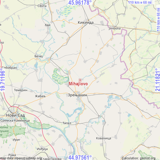
Mihajlovo GPS coordinates[2]
45° 28' 15.06" North, 20° 24' 54.288" East
| Map corner | latitude | longitude |
|---|---|---|
| Upper-left | 45.96178°, | 19.71196° |
| Center: | 45.47085°, | 20.41508° |
| Lower-right: | 44.97561°, | 21.11821° |
| Map W x H: | 109.7×109.6 km | = 68.2×68.1mi |
| max Lat: | 46.1° ⇑15.6% North |
| Mihajlovo: | 45.47085° |
| min Lat: | ⇓84.4% South 42.25846° |
| min Long | Mihajlovo | max Long |
| 18.9276° | 20.41508° | 22.77556° |
| W 52.6%⇐ | ⇒47.4% E |
Elevation
Elevation of Mihajlovo is 77 m = 253 ft, and this is 99.4 m = 326 ft below average elevation for this country.
| Max E: |
1421 m = 4662 ft | 84.8% |
| Avg. | 176.4 m = 579 ft | |
| Mihajlovo | 77 m = 253 ft | |
Min E: |
49 m = 161 ft | 15.2% |
See also: Serbia elevation on elevation.city.
Geographical zone
Mihajlovo is located in North temperate zone (between Tropic of Cancer and the Arctic Circle). Distance of this North polar circle is 2345.3 km =1457.3 mi to North.| Distance of | km | miles | from Mihajlovo |
|---|---|---|---|
| North Pole | 4951.2 | 3076.5 | to North |
| Arctic Circle | 2345.3 | 1457.3 | to North |
| Tropic Cancer | 2450 | 1522.4 | to South |
| Equator | 5055.9 | 3141.6 | to South |


Nearby cities:
15 places around Mihajlovo: (largest is in red/bold)
• Aradac
13.2 km =8.2 mi,  222°
222°
• Banatski Dvor
9.2 km =5.7 mi,  54°
54°
• Elemir
9.5 km =5.9 mi,  250°
250°
• Jankov Most
1.9 km =1.2 mi,  75°
75°
• Klek
7.4 km =4.6 mi,  136°
136°
• Kumane
16.4 km =10.2 mi,  297°
297°
• Lazarevo
13.3 km =8.3 mi,  133°
133°
• Lukićevo
16.1 km =10 mi,  156°
156°
• Melenci
9 km =5.6 mi, 304°
• Ravni Topolovac
12.1 km =7.5 mi,  95°
95°
• Torak
15.7 km =9.8 mi,  74°
74°
• Torda
13.1 km =8.1 mi,  15°
15°
• Zrenjanin
10 km =6.2 mi,  194°
194°
• Čestereg
13.8 km =8.6 mi,  41°
41°
• Žitište
10.6 km =6.6 mi, 81°
Sources, notices
• [Note1] Compared only with cities in Serbia existing in our database
• [Src1] Map data: © OpenStreetMap contributors (CC-BY-SA)
• [Src2] Other city data from geonames.org with taken over terms of usage.
• [Src3] Geographical zone / Annual Mean Temperature by Robert A. Rohde @ Wikipedia
