Takhtamygda geodata
Takhtamygda (Amur Oblast) is a populated place; located in Russia in Asia/Yakutsk (GMT+9) time zone. With population of 1,125 people, there are 4563 cities with bigger population in this country. Compared to other cities in Russia, 54.3% of cities are located further ↑North; 93.3% of cities are located further ←West and 88.5% of cities have lower elevation than Takhtamygda. Note1


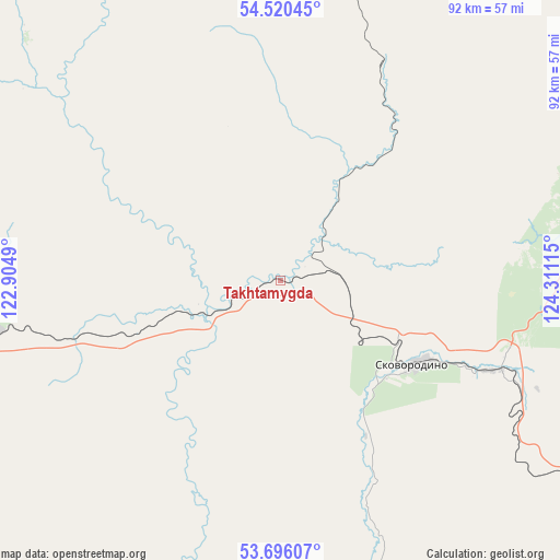
Takhtamygda GPS coordinates[2]
54° 6' 37.116" North, 123° 36' 28.872" East
| Map corner | latitude | longitude |
|---|---|---|
| Upper-left | 54.52045°, | 122.9049° |
| Center: | 54.11031°, | 123.60802° |
| Lower-right: | 53.69607°, | 124.31115° |
| Map W x H: | 91.7×91.7 km | = 57×57mi |
| max Lat: | 73.50819° ⇑54.3% North |
| Takhtamygda: | 54.11031° |
| min Lat: | ⇓45.7% South 41.28413° |
| min Long | Takhtamygda | max Long |
| -179.12198° | 123.60802° | 179.35046° |
| W 93.3%⇐ | ⇒6.7% E |
Elevation
Elevation of Takhtamygda is 411 m = 1348 ft, and this is 208.4 m = 684 ft above average elevation for this country.
| Max E: |
2518 m = 8261 ft | 11.5% |
| Takhtamygda | 411 m 1348 ft | |
| Avg. | 202.6 m = 665 ft | |
Min E: |
-28 m = -92 ft | 88.5% |
See also: Russia elevation on elevation.city.
Geographical zone
Takhtamygda is located in North temperate zone (between Tropic of Cancer and the Arctic Circle). Distance of this North polar circle is 1384.7 km =860.4 mi to North.| Distance of | km | miles | from Takhtamygda |
|---|---|---|---|
| North Pole | 3990.6 | 2479.6 | to North |
| Arctic Circle | 1384.7 | 860.4 | to North |
| Tropic Cancer | 3410.6 | 2119.2 | to South |
| Equator | 6016.5 | 3738.5 | to South |


Nearby cities:
15 places around Takhtamygda: (largest is in red/bold)
• Amazar
180.5 km =112.2 mi,  261°
261°
• Magdagachi
162 km =100.7 mi,  116°
116°
• Never
38.7 km =24 mi,  112°
112°
• Ovsyanka
223.6 km =138.9 mi, 105°
• Skovorodino
25.8 km =16 mi, 122°
• Solovjevsk
55.4 km =34.4 mi,  75°
75°
• Taldan
91.9 km =57.1 mi, 120°
• Tupik
241.2 km =149.9 mi,  278°
278°
• Tygda
211 km =131.1 mi, 121°
• Tynda
136.7 km =84.9 mi,  31°
31°
• Urusha
47.5 km =29.5 mi, 262°
• Ushumun
243.5 km =151.3 mi,  127°
127°
• Yerofey Pavlovich
109 km =67.7 mi, 261°
• Zeya
242.5 km =150.7 mi,  99°
99°
• Zolotinka
244 km =151.6 mi,  19°
19°
Sources, notices
• [Note1] Compared only with cities in Russia existing in our database
• [Src1] Map data: © OpenStreetMap contributors (CC-BY-SA)
• [Src2] Other city data from geonames.org with taken over terms of usage.
• [Src3] Geographical zone / Annual Mean Temperature by Robert A. Rohde @ Wikipedia
