Ovsyanka geodata
Ovsyanka (Amur Oblast) is a populated place; located in Russia in Asia/Yakutsk (GMT+9) time zone. With population of 3,588 people, there are 3352 cities with bigger population in this country. Compared to other cities in Russia, 58.2% of cities are located further ↑North; 93.7% of cities are located further ←West and 74.5% of cities have lower elevation than Ovsyanka. Note1


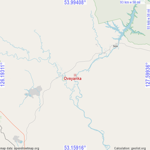
Ovsyanka GPS coordinates[2]
53° 34' 43.248" North, 126° 53' 46.428" East
| Map corner | latitude | longitude |
|---|---|---|
| Upper-left | 53.99408°, | 126.19311° |
| Center: | 53.57868°, | 126.89623° |
| Lower-right: | 53.15916°, | 127.59936° |
| Map W x H: | 92.8×92.8 km | = 57.7×57.7mi |
| max Lat: | 73.50819° ⇑58.2% North |
| Ovsyanka: | 53.57868° |
| min Lat: | ⇓41.8% South 41.28413° |
| min Long | Ovsyanka | max Long |
| -179.12198° | 126.89623° | 179.35046° |
| W 93.7%⇐ | ⇒6.3% E |
Elevation
Elevation of Ovsyanka is 214 m = 702 ft, and this is 11.4 m = 37 ft above average elevation for this country.
| Max E: |
2518 m = 8261 ft | 25.5% |
| Ovsyanka | 214 m 702 ft | |
| Avg. | 202.6 m = 665 ft | |
Min E: |
-28 m = -92 ft | 74.5% |
See also: Russia elevation on elevation.city.
Geographical zone
Ovsyanka is located in North temperate zone (between Tropic of Cancer and the Arctic Circle). Distance of this North polar circle is 1443.8 km =897.1 mi to North.| Distance of | km | miles | from Ovsyanka |
|---|---|---|---|
| North Pole | 4049.7 | 2516.4 | to North |
| Arctic Circle | 1443.8 | 897.1 | to North |
| Tropic Cancer | 3351.5 | 2082.5 | to South |
| Equator | 5957.4 | 3701.8 | to South |


Nearby cities:
15 places around Ovsyanka: (largest is in red/bold)
• Magdagachi
73.2 km =45.5 mi,  259°
259°
• Never
185.3 km =115.1 mi,  283°
283°
• Seryshevo
294.1 km =182.7 mi,  159°
159°
• Shimanovsk
182.6 km =113.5 mi, 163°
• Sivaki
105.5 km =65.6 mi,  185°
185°
• Skovorodino
199.4 km =123.9 mi, 283°
• Solovjevsk
177 km =110 mi,  294°
294°
• Svobodnyy
259.1 km =161 mi, 161°
• Takhtamygda
223.6 km =138.9 mi, 285°
• Taldan
137.8 km =85.6 mi, 275°
• Tsiolkovskiy
217.5 km =135.1 mi, 157°
• Tygda
64.1 km =39.8 mi,  215°
215°
• Tynda
224.8 km =139.7 mi,  321°
321°
• Ushumun
91.3 km =56.7 mi,  195°
195°
• Zeya
29.5 km =18.3 mi,  53°
53°
Sources, notices
• [Note1] Compared only with cities in Russia existing in our database
• [Src1] Map data: © OpenStreetMap contributors (CC-BY-SA)
• [Src2] Other city data from geonames.org with taken over terms of usage.
• [Src3] Geographical zone / Annual Mean Temperature by Robert A. Rohde @ Wikipedia
