Leninskoye geodata
Leninskoye (Jewish Autonomous Oblast) is a populated place; located in Russia in Asia/Vladivostok (GMT+10) time zone. With population of 6,827 people, there are 2041 cities with bigger population in this country. Compared to other cities in Russia, 80.6% of cities are located further ↑North; 95.9% of cities are located further ←West and 83.5% of cities have higher elevation than Leninskoye. Note1


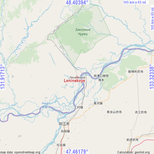
Leninskoye GPS coordinates[2]
47° 56' 6.036" North, 132° 37' 12.9" East
| Map corner | latitude | longitude |
|---|---|---|
| Upper-left | 48.40394°, | 131.91713° |
| Center: | 47.93501°, | 132.62025° |
| Lower-right: | 47.46179°, | 133.32338° |
| Map W x H: | 104.8×104.8 km | = 65.1×65.1mi |
| max Lat: | 73.50819° ⇑80.6% North |
| Leninskoye: | 47.93501° |
| min Lat: | ⇓19.4% South 41.28413° |
| min Long | Leninskoye | max Long |
| -179.12198° | 132.62025° | 179.35046° |
| W 95.9%⇐ | ⇒4.1% E |
Elevation
Elevation of Leninskoye is 55 m = 180 ft, and this is 147.6 m = 484 ft below average elevation for this country.
| Max E: |
2518 m = 8261 ft | 83.5% |
| Avg. | 202.6 m = 665 ft | |
| Leninskoye | 55 m = 180 ft | |
Min E: |
-28 m = -92 ft | 16.5% |
See also: Russia elevation on elevation.city.
Geographical zone
Leninskoye is located in North temperate zone (between Tropic of Cancer and the Arctic Circle). Distance of this North polar circle is 2071.3 km =1287 mi to North.| Distance of | km | miles | from Leninskoye |
|---|---|---|---|
| North Pole | 4677.2 | 2906.3 | to North |
| Arctic Circle | 2071.3 | 1287 | to North |
| Tropic Cancer | 2724 | 1692.6 | to South |
| Equator | 5329.9 | 3311.8 | to South |


Nearby cities:
15 places around Leninskoye: (largest is in red/bold)
• Amurzet
117 km =72.7 mi,  256°
256°
• Babstovo
22.9 km =14.2 mi,  332°
332°
• Bikin
175 km =108.7 mi,  135°
135°
• Bira
119.1 km =74 mi,  354°
354°
• Birakan
135.1 km =83.9 mi, 330°
• Birobidzhan
98 km =60.9 mi,  13°
13°
• Izvestkovyy
140.4 km =87.2 mi, 325°
• Khingansk
169.2 km =105.1 mi,  321°
321°
• Khor
173.4 km =107.7 mi,  91°
91°
• Kul’dur
158.6 km =98.5 mi, 332°
• Lermontovka
155.6 km =96.7 mi,  124°
124°
• Londoko
129 km =80.2 mi,  338°
338°
• Smidovich
114.7 km =71.3 mi,  50°
50°
• Volochayevka Vtoraya
161.4 km =100.3 mi,  64°
64°
• Vyazemskiy
165.7 km =103 mi,  105°
105°
Sources, notices
• [Note1] Compared only with cities in Russia existing in our database
• [Src1] Map data: © OpenStreetMap contributors (CC-BY-SA)
• [Src2] Other city data from geonames.org with taken over terms of usage.
• [Src3] Geographical zone / Annual Mean Temperature by Robert A. Rohde @ Wikipedia
