Yumaguzino geodata
Yumaguzino (Bashkortostan Republic) is a populated place; located in Russia in Asia/Yekaterinburg (GMT+5) time zone. With population of 5,353 people, there are 2488 cities with bigger population in this country. Compared to other cities in Russia, 63.4% of cities are located further ↑North; 68% of cities are located further ←West and 73.2% of cities have lower elevation than Yumaguzino. Note1


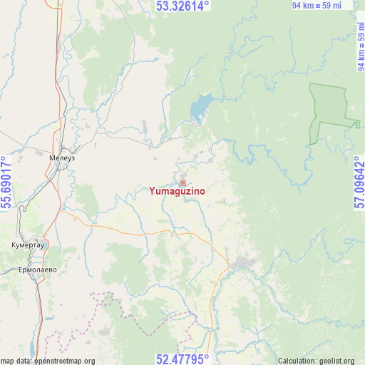
Yumaguzino GPS coordinates[2]
52° 54' 14.832" North, 56° 23' 35.844" East
| Map corner | latitude | longitude |
|---|---|---|
| Upper-left | 53.32614°, | 55.69017° |
| Center: | 52.90412°, | 56.39329° |
| Lower-right: | 52.47795°, | 57.09642° |
| Map W x H: | 94.3×94.3 km | = 58.6×58.6mi |
| max Lat: | 73.50819° ⇑63.4% North |
| Yumaguzino: | 52.90412° |
| min Lat: | ⇓36.6% South 41.28413° |
| min Long | Yumaguzino | max Long |
| -179.12198° | 56.39329° | 179.35046° |
| W 68%⇐ | ⇒32% E |
Elevation
Elevation of Yumaguzino is 209 m = 686 ft, and this is 6.4 m = 21 ft above average elevation for this country.
| Max E: |
2518 m = 8261 ft | 26.8% |
| Yumaguzino | 209 m 686 ft | |
| Avg. | 202.6 m = 665 ft | |
Min E: |
-28 m = -92 ft | 73.2% |
See also: Russia elevation on elevation.city.
Geographical zone
Yumaguzino is located in North temperate zone (between Tropic of Cancer and the Arctic Circle). Distance of this North polar circle is 1518.8 km =943.7 mi to North.| Distance of | km | miles | from Yumaguzino |
|---|---|---|---|
| North Pole | 4124.7 | 2563 | to North |
| Arctic Circle | 1518.8 | 943.7 | to North |
| Tropic Cancer | 3276.5 | 2035.9 | to South |
| Equator | 5882.4 | 3655.2 | to South |


Nearby cities:
15 places around Yumaguzino: (largest is in red/bold)
• Galiakberovo
60.2 km =37.4 mi,  47°
47°
• Ishimbay
65.5 km =40.7 mi,  339°
339°
• Isyangulovo
80.9 km =50.3 mi,  170°
170°
• Kumertau
43.7 km =27.2 mi,  249°
249°
• Matveyevka
85 km =52.8 mi,  189°
189°
• Mayachnyy
53.5 km =33.2 mi,  242°
242°
• Meleuz
31.6 km =19.6 mi,  282°
282°
• Mrakovo
26 km =16.2 mi,  143°
143°
• Salavat
62.4 km =38.8 mi,  328°
328°
• Starosubkhangulovo
73.6 km =45.7 mi,  72°
72°
• Sterlitamak
85.4 km =53.1 mi, 339°
• Tyul’gan
64.5 km =40.1 mi, 193°
• Voskresenskoye
29.4 km =18.3 mi, 325°
• Yermolayevo
45 km =28 mi, 242°
• Zirgan
47.5 km =29.5 mi,  318°
318°
Sources, notices
• [Note1] Compared only with cities in Russia existing in our database
• [Src1] Map data: © OpenStreetMap contributors (CC-BY-SA)
• [Src2] Other city data from geonames.org with taken over terms of usage.
• [Src3] Geographical zone / Annual Mean Temperature by Robert A. Rohde @ Wikipedia
