Sambek geodata
Sambek (Rostov) is a populated place; located in Russia in Europe/Moscow (GMT+3) time zone. With population of 5,278 people, there are 2519 cities with bigger population in this country. Compared to other cities in Russia, 80.8% of cities are located further ↑North; 68.4% of cities are located further →East and 50.2% of cities have higher elevation than Sambek. Note1


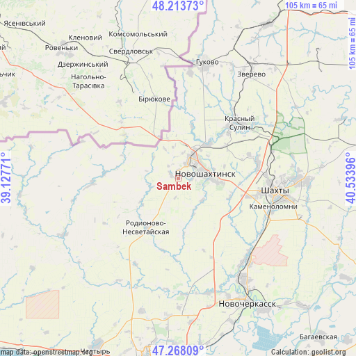
Sambek GPS coordinates[2]
47° 44' 35.016" North, 39° 49' 50.988" East
| Map corner | latitude | longitude |
|---|---|---|
| Upper-left | 48.21373°, | 39.12771° |
| Center: | 47.74306°, | 39.83083° |
| Lower-right: | 47.26809°, | 40.53396° |
| Map W x H: | 105.1×105.1 km | = 65.3×65.3mi |
| max Lat: | 73.50819° ⇑80.8% North |
| Sambek: | 47.74306° |
| min Lat: | ⇓19.2% South 41.28413° |
| min Long | Sambek | max Long |
| -179.12198° | 39.83083° | 179.35046° |
| W 31.6%⇐ | ⇒68.4% E |
Elevation
Elevation of Sambek is 144 m = 472 ft, and this is 58.6 m = 192 ft below average elevation for this country.
| Max E: |
2518 m = 8261 ft | 50.2% |
| Avg. | 202.6 m = 665 ft | |
| Sambek | 144 m = 472 ft | |
Min E: |
-28 m = -92 ft | 49.8% |
See also: Russia elevation on elevation.city.
Geographical zone
Sambek is located in North temperate zone (between Tropic of Cancer and the Arctic Circle). Distance of this North polar circle is 2092.6 km =1300.3 mi to North.| Distance of | km | miles | from Sambek |
|---|---|---|---|
| North Pole | 4698.5 | 2919.5 | to North |
| Arctic Circle | 2092.6 | 1300.3 | to North |
| Tropic Cancer | 2702.6 | 1679.3 | to South |
| Equator | 5308.5 | 3298.5 | to South |


Nearby cities:
15 places around Sambek: (largest is in red/bold)
• Ayutinskiy
24.1 km =15 mi,  79°
79°
• Gornyy
29 km =18 mi,  73°
73°
• Grushevskaya
34.8 km =21.6 mi,  164°
164°
• Gukovo
36.3 km =22.6 mi,  12°
12°
• Kamenolomni
29.2 km =18.1 mi,  106°
106°
• Krasnyy Sulin
24.4 km =15.2 mi,  47°
47°
• Krasyukovskaya
29.7 km =18.5 mi,  135°
135°
• Mayskiy
21 km =13 mi,  104°
104°
• Novoshakhtinsk
7.9 km =4.9 mi, 75°
• Novosvetlovsky
28.6 km =17.8 mi, 112°
• Rodionovo-Nesvetaiskoye
18.7 km =11.6 mi,  211°
211°
• Rodionovo-Nesvetayskaya
17.2 km =10.7 mi, 211°
• Shakhty
28.9 km =18 mi, 97°
• Sokolovo-Kundryuchenskiy
13.4 km =8.3 mi,  40°
40°
• Talovyy
22 km =13.7 mi, 70°
Sources, notices
• [Note1] Compared only with cities in Russia existing in our database
• [Src1] Map data: © OpenStreetMap contributors (CC-BY-SA)
• [Src2] Other city data from geonames.org with taken over terms of usage.
• [Src3] Geographical zone / Annual Mean Temperature by Robert A. Rohde @ Wikipedia
