Povarovo geodata
Povarovo (Moscow Oblast) is a populated place; located in Russia in Europe/Moscow (GMT+3) time zone. With population of 7,539 people, there are 1895 cities with bigger population in this country. Compared to other cities in Russia, 67.5% of cities are located further ↓South; 84.7% of cities are located further →East and 75% of cities have lower elevation than Povarovo. Note1


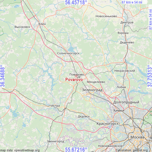
Povarovo GPS coordinates[2]
56° 4' 0.012" North, 37° 3' 0" East
| Map corner | latitude | longitude |
|---|---|---|
| Upper-left | 56.45718°, | 36.34688° |
| Center: | 56.06667°, | 37.05° |
| Lower-right: | 55.67216°, | 37.75313° |
| Map W x H: | 87.3×87.3 km | = 54.2×54.2mi |
| max Lat: | 73.50819° ⇑32.5% North |
| Povarovo: | 56.06667° |
| min Lat: | ⇓67.5% South 41.28413° |
| min Long | Povarovo | max Long |
| -179.12198° | 37.05° | 179.35046° |
| W 15.3%⇐ | ⇒84.7% E |
Elevation
Elevation of Povarovo is 217 m = 712 ft, and this is 14.4 m = 47 ft above average elevation for this country.
| Max E: |
2518 m = 8261 ft | 25% |
| Povarovo | 217 m 712 ft | |
| Avg. | 202.6 m = 665 ft | |
Min E: |
-28 m = -92 ft | 75% |
See also: Russia elevation on elevation.city.
Geographical zone
Povarovo is located in North temperate zone (between Tropic of Cancer and the Arctic Circle). Distance of this North polar circle is 1167.1 km =725.2 mi to North.| Distance of | km | miles | from Povarovo |
|---|---|---|---|
| North Pole | 3773 | 2344.4 | to North |
| Arctic Circle | 1167.1 | 725.2 | to North |
| Tropic Cancer | 3628.1 | 2254.4 | to South |
| Equator | 6234 | 3873.6 | to South |


Nearby cities:
15 places around Povarovo: (largest is in red/bold)
• Alabushevo
8.3 km =5.2 mi,  131°
131°
• Andreyevka
11 km =6.8 mi,  151°
151°
• Brëkhovo
17.1 km =10.6 mi, 149°
• Chashnikovo
8.1 km =5 mi,  117°
117°
• Firsanovka
17.3 km =10.7 mi,  136°
136°
• Istra
19.8 km =12.3 mi,  214°
214°
• Krivtsovo
13.9 km =8.6 mi,  311°
311°
• Lozhki
4.7 km =2.9 mi,  50°
50°
• Mendeleyevo
11 km =6.8 mi,  109°
109°
• Peshki
7.5 km =4.7 mi,  7°
7°
• Radumlya
6.2 km =3.9 mi,  87°
87°
• Rzhavki
14.5 km =9 mi, 120°
• Snegiri
19.9 km =12.4 mi,  184°
184°
• Solnechnogorsk
13.6 km =8.5 mi,  342°
342°
• Zelenograd
12.4 km =7.7 mi, 138°
Sources, notices
• [Note1] Compared only with cities in Russia existing in our database
• [Src1] Map data: © OpenStreetMap contributors (CC-BY-SA)
• [Src2] Other city data from geonames.org with taken over terms of usage.
• [Src3] Geographical zone / Annual Mean Temperature by Robert A. Rohde @ Wikipedia
