Krivtsovo geodata
Krivtsovo (Moscow Oblast) is a populated place; located in Russia in Europe/Moscow (GMT+3) time zone. With population of 2,063 people, there are 4124 cities with bigger population in this country. Compared to other cities in Russia, 68.6% of cities are located further ↓South; 85.2% of cities are located further →East and 69.2% of cities have lower elevation than Krivtsovo. Note1


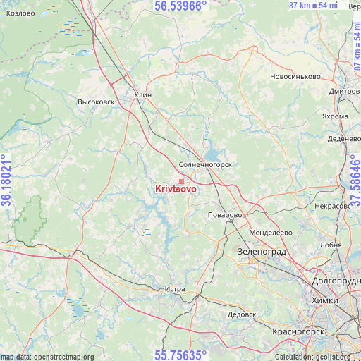
Krivtsovo GPS coordinates[2]
56° 9' 0" North, 36° 52' 59.988" East
| Map corner | latitude | longitude |
|---|---|---|
| Upper-left | 56.53966°, | 36.18021° |
| Center: | 56.15°, | 36.88333° |
| Lower-right: | 55.75635°, | 37.58646° |
| Map W x H: | 87.1×87.1 km | = 54.1×54.1mi |
| max Lat: | 73.50819° ⇑31.4% North |
| Krivtsovo: | 56.15° |
| min Lat: | ⇓68.6% South 41.28413° |
| min Long | Krivtsovo | max Long |
| -179.12198° | 36.88333° | 179.35046° |
| W 14.8%⇐ | ⇒85.2% E |
Elevation
Elevation of Krivtsovo is 195 m = 640 ft, and this is 7.6 m = 25 ft below average elevation for this country.
| Max E: |
2518 m = 8261 ft | 30.8% |
| Avg. | 202.6 m = 665 ft | |
| Krivtsovo | 195 m = 640 ft | |
Min E: |
-28 m = -92 ft | 69.2% |
See also: Russia elevation on elevation.city.
Geographical zone
Krivtsovo is located in North temperate zone (between Tropic of Cancer and the Arctic Circle). Distance of this North polar circle is 1157.9 km =719.5 mi to North.| Distance of | km | miles | from Krivtsovo |
|---|---|---|---|
| North Pole | 3763.8 | 2338.7 | to North |
| Arctic Circle | 1157.9 | 719.5 | to North |
| Tropic Cancer | 3637.4 | 2260.2 | to South |
| Equator | 6243.3 | 3879.4 | to South |


Nearby cities:
15 places around Krivtsovo: (largest is in red/bold)
• Alabushevo
22.2 km =13.8 mi,  131°
131°
• Andreyevka
24.5 km =15.2 mi,  140°
140°
• Chashnikovo
21.8 km =13.5 mi, 126°
• Istra
25.6 km =15.9 mi,  182°
182°
• Kamenka
26.1 km =16.2 mi,  81°
81°
• Klin
22.4 km =13.9 mi,  335°
335°
• Lozhki
15.3 km =9.5 mi,  114°
114°
• Mendeleyevo
24.4 km =15.2 mi,  122°
122°
• Novoshchapovo
25.3 km =15.7 mi,  348°
348°
• Nudol’
23.4 km =14.5 mi,  256°
256°
• Peshki
11.5 km =7.1 mi,  99°
99°
• Pod"yachevo
25.9 km =16.1 mi,  60°
60°
• Povarovo
13.9 km =8.6 mi, 131°
• Radumlya
18.8 km =11.7 mi, 118°
• Solnechnogorsk
7.2 km =4.5 mi, 59°
Sources, notices
• [Note1] Compared only with cities in Russia existing in our database
• [Src1] Map data: © OpenStreetMap contributors (CC-BY-SA)
• [Src2] Other city data from geonames.org with taken over terms of usage.
• [Src3] Geographical zone / Annual Mean Temperature by Robert A. Rohde @ Wikipedia
