Istra geodata
Istra (Moscow Oblast) is a populated place; located in Russia in Europe/Moscow (GMT+3) time zone. With population of 33,390 people, there are 599 cities with bigger population in this country. Compared to other cities in Russia, 65.4% of cities are located further ↓South; 85.2% of cities are located further →East and 62.4% of cities have lower elevation than Istra. Note1


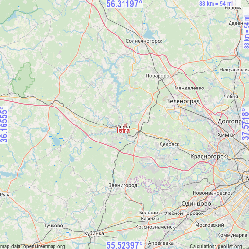
Istra GPS coordinates[2]
55° 55' 11.892" North, 36° 52' 7.212" East
| Map corner | latitude | longitude |
|---|---|---|
| Upper-left | 56.31197°, | 36.16555° |
| Center: | 55.91997°, | 36.86867° |
| Lower-right: | 55.52397°, | 37.5718° |
| Map W x H: | 87.6×87.6 km | = 54.4×54.4mi |
| max Lat: | 73.50819° ⇑34.6% North |
| Istra: | 55.91997° |
| min Lat: | ⇓65.4% South 41.28413° |
| min Long | Istra | max Long |
| -179.12198° | 36.86867° | 179.35046° |
| W 14.8%⇐ | ⇒85.2% E |
Elevation
Elevation of Istra is 175 m = 574 ft, and this is 27.6 m = 91 ft below average elevation for this country.
| Max E: |
2518 m = 8261 ft | 37.6% |
| Avg. | 202.6 m = 665 ft | |
| Istra | 175 m = 574 ft | |
Min E: |
-28 m = -92 ft | 62.4% |
See also: Russia elevation on elevation.city.
Geographical zone
Istra is located in North temperate zone (between Tropic of Cancer and the Arctic Circle). Distance of this North polar circle is 1183.5 km =735.4 mi to North.| Distance of | km | miles | from Istra |
|---|---|---|---|
| North Pole | 3789.3 | 2354.6 | to North |
| Arctic Circle | 1183.5 | 735.4 | to North |
| Tropic Cancer | 3611.8 | 2244.3 | to South |
| Equator | 6217.7 | 3863.5 | to South |


Nearby cities:
15 places around Istra: (largest is in red/bold)
• Alabushevo
20.5 km =12.7 mi,  58°
58°
• Andreyevka
17.9 km =11.1 mi,  67°
67°
• Brëkhovo
20 km =12.4 mi,  85°
85°
• Dedovsk
16.8 km =10.4 mi,  109°
109°
• Kostrovo
11.2 km =7 mi,  255°
255°
• Nakhabino
20.9 km =13 mi, 112°
• Pavlovskaya Sloboda
17.7 km =11 mi,  131°
131°
• Povarovo
19.8 km =12.3 mi,  34°
34°
• Rozhdestveno
13.4 km =8.3 mi,  122°
122°
• Rumyantsevo
21.6 km =13.4 mi,  285°
285°
• Savvinskaya Sloboda
22.2 km =13.8 mi,  190°
190°
• Snegiri
10.3 km =6.4 mi, 109°
• Yershovo
16.8 km =10.4 mi,  181°
181°
• Zelenograd
20.7 km =12.9 mi, 70°
• Zvenigorod
20.7 km =12.9 mi, 181°
Sources, notices
• [Note1] Compared only with cities in Russia existing in our database
• [Src1] Map data: © OpenStreetMap contributors (CC-BY-SA)
• [Src2] Other city data from geonames.org with taken over terms of usage.
• [Src3] Geographical zone / Annual Mean Temperature by Robert A. Rohde @ Wikipedia
