Kosmynino geodata
Kosmynino (Kostroma Oblast) is a populated place; located in Russia in Europe/Moscow (GMT+3) time zone. With population of 1,670 people, there are 4311 cities with bigger population in this country. Compared to other cities in Russia, 80.4% of cities are located further ↓South; 64% of cities are located further →East and 53.6% of cities have higher elevation than Kosmynino. Note1


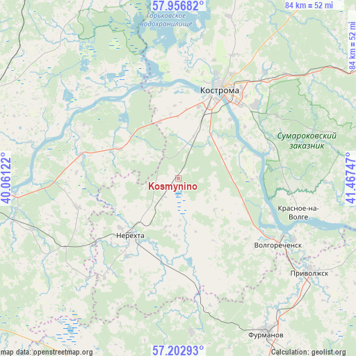
Kosmynino GPS coordinates[2]
57° 34' 54.588" North, 40° 45' 51.624" East
| Map corner | latitude | longitude |
|---|---|---|
| Upper-left | 57.95682°, | 40.06122° |
| Center: | 57.58183°, | 40.76434° |
| Lower-right: | 57.20293°, | 41.46747° |
| Map W x H: | 83.8×83.8 km | = 52.1×52.1mi |
| max Lat: | 73.50819° ⇑19.6% North |
| Kosmynino: | 57.58183° |
| min Lat: | ⇓80.4% South 41.28413° |
| min Long | Kosmynino | max Long |
| -179.12198° | 40.76434° | 179.35046° |
| W 36%⇐ | ⇒64% E |
Elevation
Elevation of Kosmynino is 137 m = 449 ft, and this is 65.6 m = 215 ft below average elevation for this country.
| Max E: |
2518 m = 8261 ft | 53.6% |
| Avg. | 202.6 m = 665 ft | |
| Kosmynino | 137 m = 449 ft | |
Min E: |
-28 m = -92 ft | 46.4% |
See also: Russia elevation on elevation.city.
Geographical zone
Kosmynino is located in North temperate zone (between Tropic of Cancer and the Arctic Circle). Distance of this North polar circle is 998.7 km =620.6 mi to North.| Distance of | km | miles | from Kosmynino |
|---|---|---|---|
| North Pole | 3604.6 | 2239.8 | to North |
| Arctic Circle | 998.7 | 620.6 | to North |
| Tropic Cancer | 3796.6 | 2359.1 | to South |
| Equator | 6402.5 | 3978.3 | to South |


Nearby cities:
15 places around Kosmynino: (largest is in red/bold)
• Burmakino
36.5 km =22.7 mi,  239°
239°
• Dubki
43.9 km =27.3 mi,  224°
224°
• Dulyapino
36.2 km =22.5 mi,  175°
175°
• Furmanov
41.9 km =26 mi,  150°
150°
• Kostroma
22.7 km =14.1 mi,  25°
25°
• Krasnoye-na-Volge
29.3 km =18.2 mi,  104°
104°
• Krasnyy Profintern
26.7 km =16.6 mi,  312°
312°
• Levashevo
15.9 km =9.9 mi,  295°
295°
• Nekrasovskoye
26 km =16.2 mi,  293°
293°
• Nerekhta
17.8 km =11.1 mi, 219°
• Oktyabr’skiy
23 km =14.3 mi,  37°
37°
• Plës
46.9 km =29.1 mi,  106°
106°
• Privolzhsk
38 km =23.6 mi,  124°
124°
• Tunoshna
38.3 km =23.8 mi,  264°
264°
• Volgorechensk
28.2 km =17.5 mi, 124°
Sources, notices
• [Note1] Compared only with cities in Russia existing in our database
• [Src1] Map data: © OpenStreetMap contributors (CC-BY-SA)
• [Src2] Other city data from geonames.org with taken over terms of usage.
• [Src3] Geographical zone / Annual Mean Temperature by Robert A. Rohde @ Wikipedia
