Kamenka geodata
Kamenka (Arkhangelskaya) is a populated place; located in Russia in Europe/Moscow (GMT+3) time zone. With population of 3,258 people, there are 3561 cities with bigger population in this country. Compared to other cities in Russia, 97.9% of cities are located further ↓South; 52.5% of cities are located further →East and 96.4% of cities have higher elevation than Kamenka. Note1


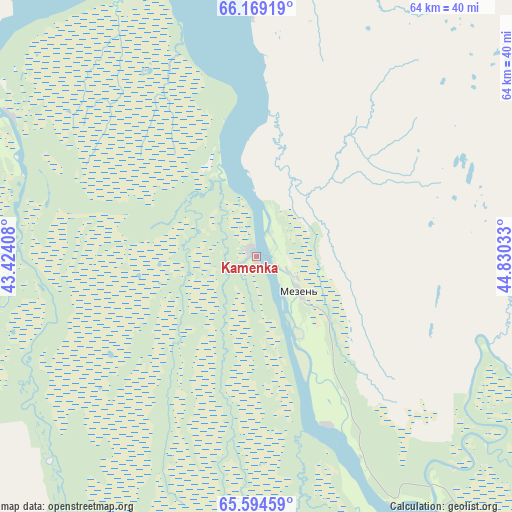
Kamenka GPS coordinates[2]
65° 53' 0.6" North, 44° 7' 37.92" East
| Map corner | latitude | longitude |
|---|---|---|
| Upper-left | 66.16919°, | 43.42408° |
| Center: | 65.8835°, | 44.1272° |
| Lower-right: | 65.59459°, | 44.83033° |
| Map W x H: | 63.9×63.9 km | = 39.7×39.7mi |
| max Lat: | 73.50819° ⇑2.1% North |
| Kamenka: | 65.8835° |
| min Lat: | ⇓97.9% South 41.28413° |
| min Long | Kamenka | max Long |
| -179.12198° | 44.1272° | 179.35046° |
| W 47.5%⇐ | ⇒52.5% E |
Elevation
Elevation of Kamenka is 9 m = 30 ft, and this is 193.6 m = 635 ft below average elevation for this country.
| Max E: |
2518 m = 8261 ft | 96.4% |
| Avg. | 202.6 m = 665 ft | |
| Kamenka | 9 m = 30 ft | |
Min E: |
-28 m = -92 ft | 3.6% |
See also: Russia elevation on elevation.city.
Geographical zone
Kamenka is located in North temperate zone (between Tropic of Cancer and the Arctic Circle). Distance of this North polar circle is 75.6 km =47 mi to North.| Distance of | km | miles | from Kamenka |
|---|---|---|---|
| North Pole | 2681.5 | 1666.2 | to North |
| Arctic Circle | 75.6 | 47 | to North |
| Tropic Cancer | 4719.6 | 2932.6 | to South |
| Equator | 7325.6 | 4551.9 | to South |


Nearby cities:
15 places around Kamenka: (largest is in red/bold)
• Arkhangel’sk
224.1 km =139.2 mi,  228°
228°
• Belogorskiy
206.1 km =128.1 mi,  203°
203°
• Berëznik
343.9 km =213.7 mi,  191°
191°
• Isakogorka
227.7 km =141.5 mi, 225°
• Karpogory
209.7 km =130.3 mi,  175°
175°
• Katunino
233.3 km =145 mi,  224°
224°
• Kholmogory
218 km =135.5 mi,  212°
212°
• Leshukonskoye
133.3 km =82.8 mi,  145°
145°
• Lukovetskiy
204.5 km =127.1 mi, 210°
• Mezen’
7.5 km =4.7 mi,  129°
129°
• Novodvinsk
224.9 km =139.7 mi, 223°
• Pinega
136 km =84.5 mi, 194°
• Uyemskiy
218.8 km =136 mi, 224°
• Vas’kovo
236.7 km =147.1 mi, 226°
• Yemetsk
290.4 km =180.4 mi, 202°
Sources, notices
• [Note1] Compared only with cities in Russia existing in our database
• [Src1] Map data: © OpenStreetMap contributors (CC-BY-SA)
• [Src2] Other city data from geonames.org with taken over terms of usage.
• [Src3] Geographical zone / Annual Mean Temperature by Robert A. Rohde @ Wikipedia
